Bordeaux [spanish: Burdeos; arabic: Būrdū], founded by Celts in the 3rd century BC, lies close to the Atlantic coast in southwest France, 450 km north of Barcelona, 450 km west of Lyon and 500 km south of Paris. It is the largest city in southwestern France and the 9th largest city in France.
Population: 250.000 [2015] | 210.000 [1990] | 263.000 [1931] | 257.000 [1901]
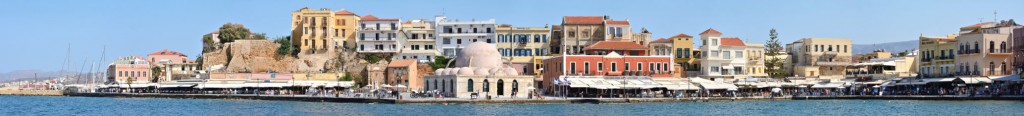
The Romans called the city Burdigala and made it the capital of their province Aquitania. Later it was also the capital of Guyenne during the time of english rule. The city has always profited from its strategic position along the cost and several trade routes, which guaranteed wealth via trade, especially of its wine, still renowned worldwide today. Today it is the capital of the region Nouvelle-Aquitaine, seat of an arch bishop and the historic centre is a UNESCO world heritage site. It has also been the capital of France for three short periods during german invasions in the last 150 years.
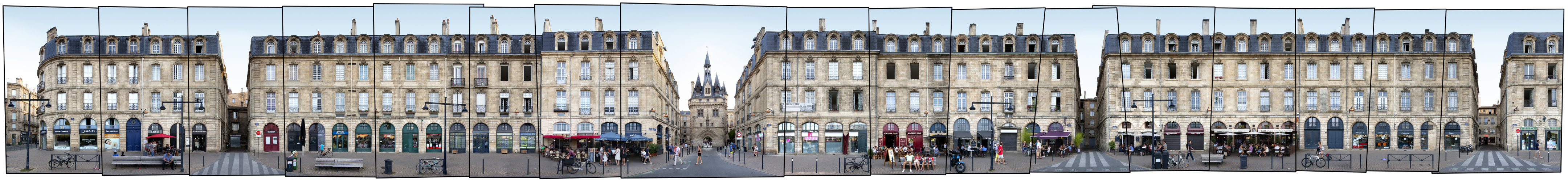
The complete old town of Bordeaux has been awarded an ensemble UNESCO world heritage site status. It is nicknamed the Port de la Lune (Port of the Moon) and is known for its consistent architectural character, created in the age of Enlightenment. Above we see the front along the river Garonne and the Quai Richelieu. In the centre we see the Porte Cailhau, one of the main sights of Bordeaux and the former main gate towards the harbour (errected in 1495).
Photography by Victor Lavilla.
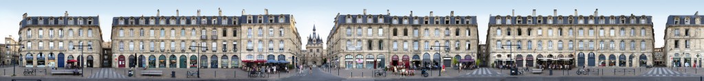
Click for larger view:
For classic view and more infos about the place (german link):
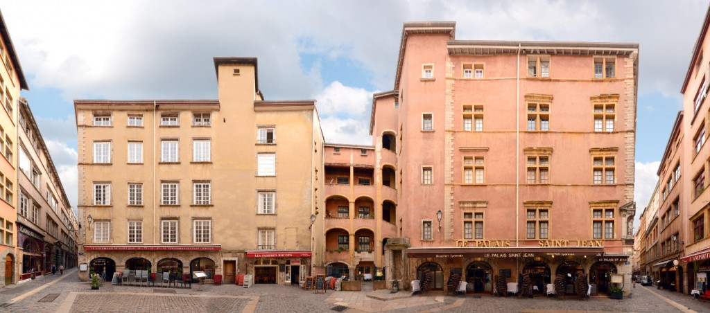
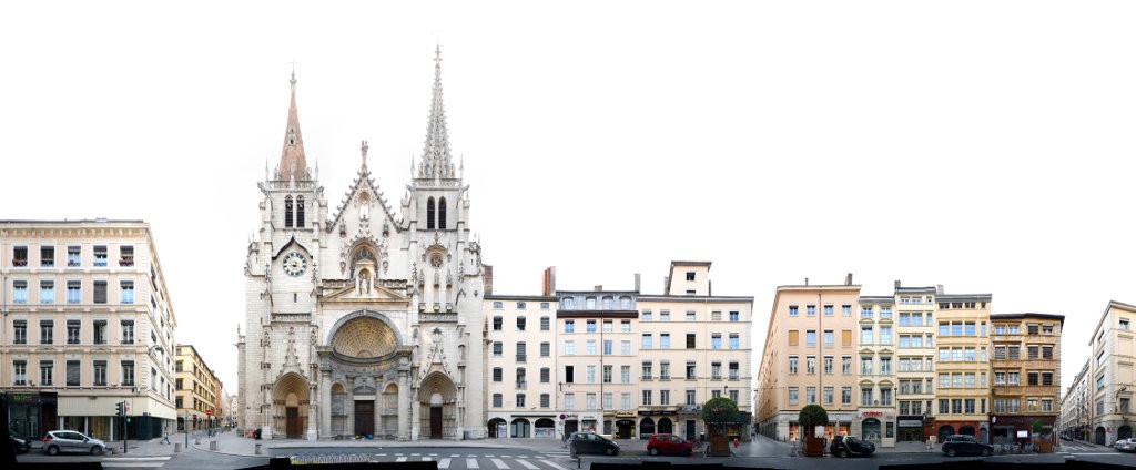
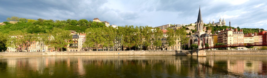
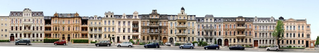
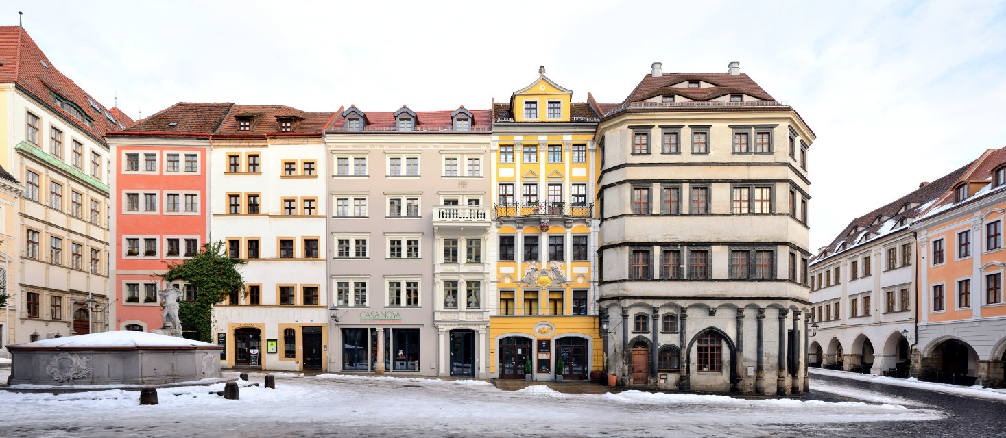
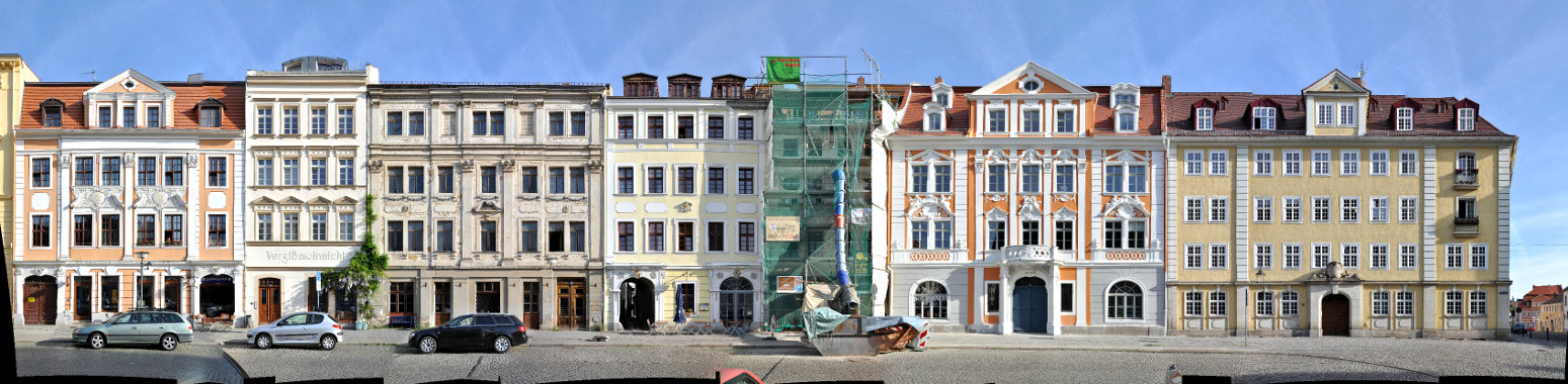
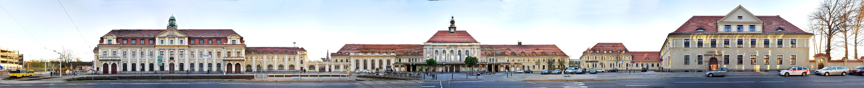
We have documented a large number of views from french cities, find more examples inside our France archive.