Frankfurt | Germany | Mainufer | Week 28

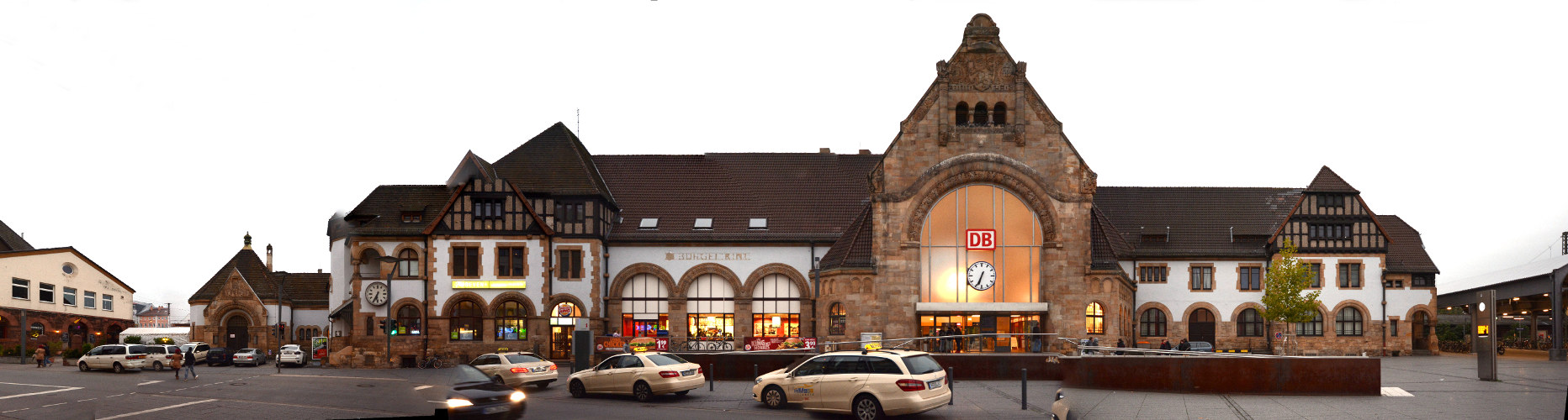
Frankfurt am Main [italian: Francoforte sul Meno], first mention as Franconofurd in 794, but probably inhabited since the Romans. Frankfurt is situated ca. in the middle of the line Brussels – Prague and about 400 km south of Hamburg. It is the largest city (but not the capital) of the german state Hesse, the 5th largest in Germany and the 48th largest in Europe.

Population: 733.000 [2015] | 645.000 [1990] | 541.000 [1930] | 289.000 [1900]

Frankfurt had been one of the most important cities in the Holy Roman Empire ever since the division of Charlemagne’s Frankish Empire in 843. From 1147 to 1792 most german kings and emperors were crowned in Frankfurt. The city became a free imperial city in 1220 and kept this status till Napoleon. After a brief period of dependance it was a free city again until it was annexed by Prussia in 1866. Frankfurt gained a status as an important trade fair city as early as the 13th century and it established an early currency exchange system in the late 16th century. Today it is the leading financial centre of continental europe, a leading trade fair city and a significant cultural and commercial centre, including central europe’s busiest airport.

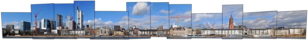
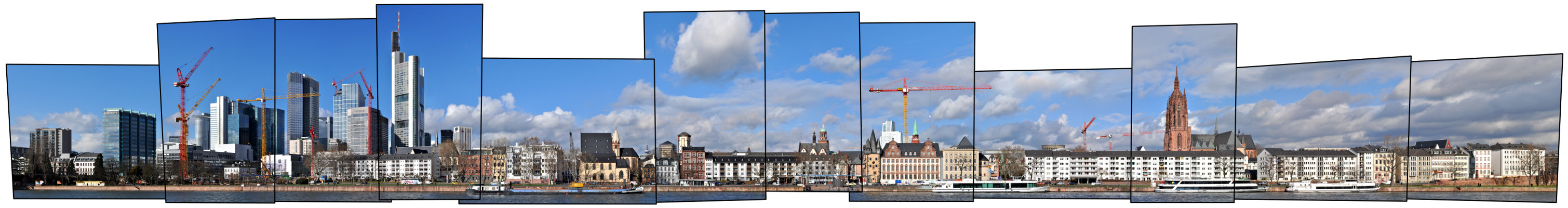
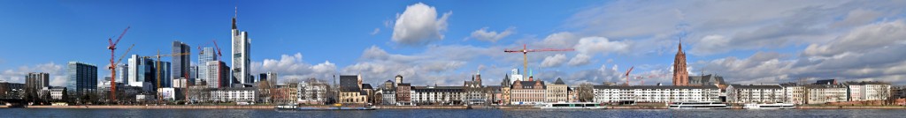
This linear panorama view depicts the northern shore of the river Main from the Bankenviertel (banking district) on the left along the central old town of Frankfurt up to the Alte Brücke (old bridge) on the right. Prominent features are the banks skyscrapers on the left, which form the basis for all classic skyline images of Frankfurt, in the centre of the panorama we see the towers around the central square Römerberg and further to the right we see the large Frankfurt Cathedral (german: Kaiserdom St. Bartholomäus). One main feature is missing from this view however, in the middle the river is crossed by the Eiserne Steg bridge, a pedestrian connection to the south bank. See our archive version for more infos, backgrounds and an explanation of the bridge’s dissapearing.

Click for larger view:

Frankfurt Mainkai mit Bankenviertel und Skyline im Panorama

For classic view and more infos about the place (german link):

Frankfurt Mainkai Panorama

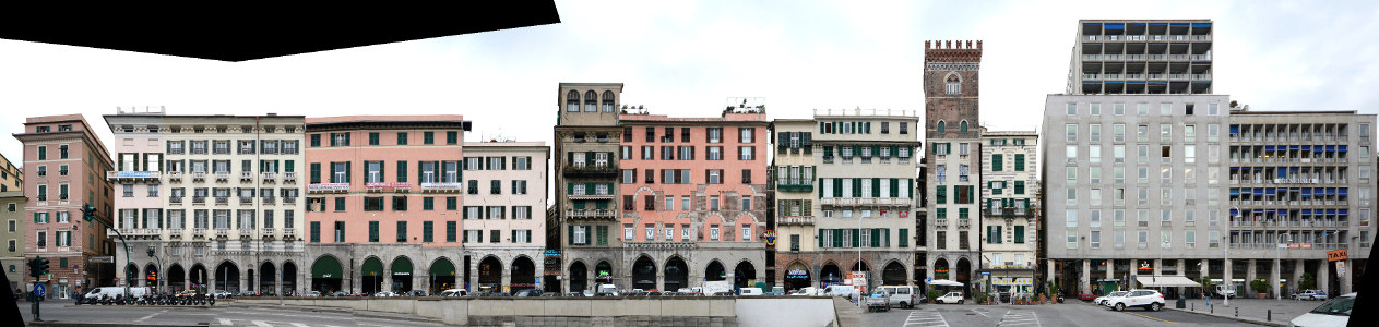
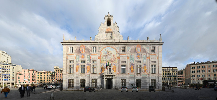
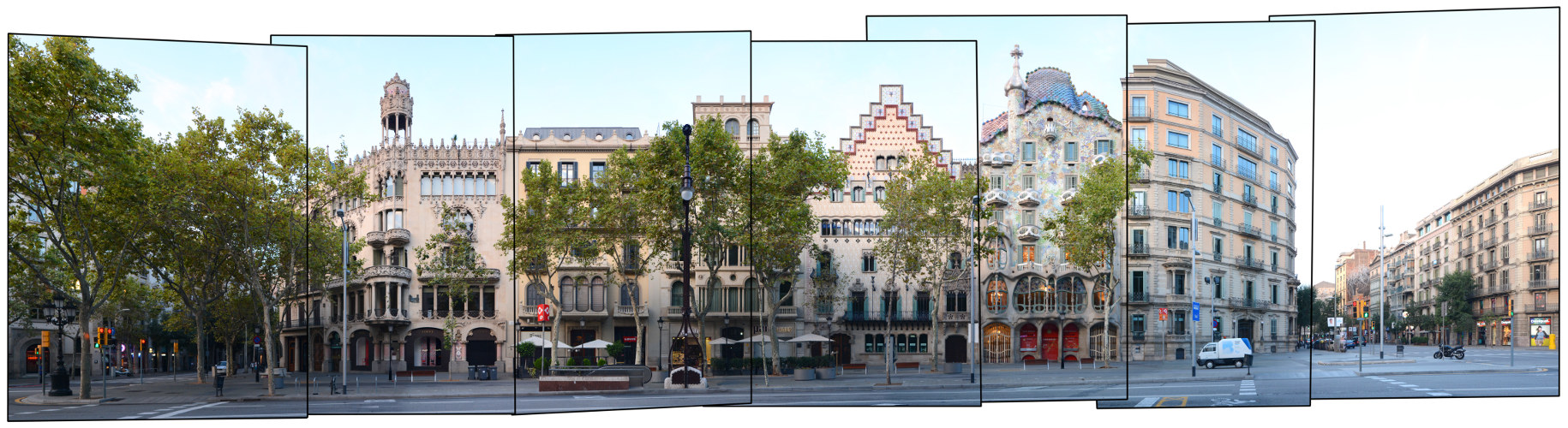
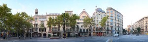
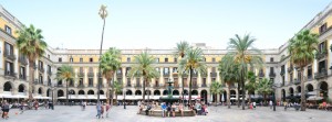
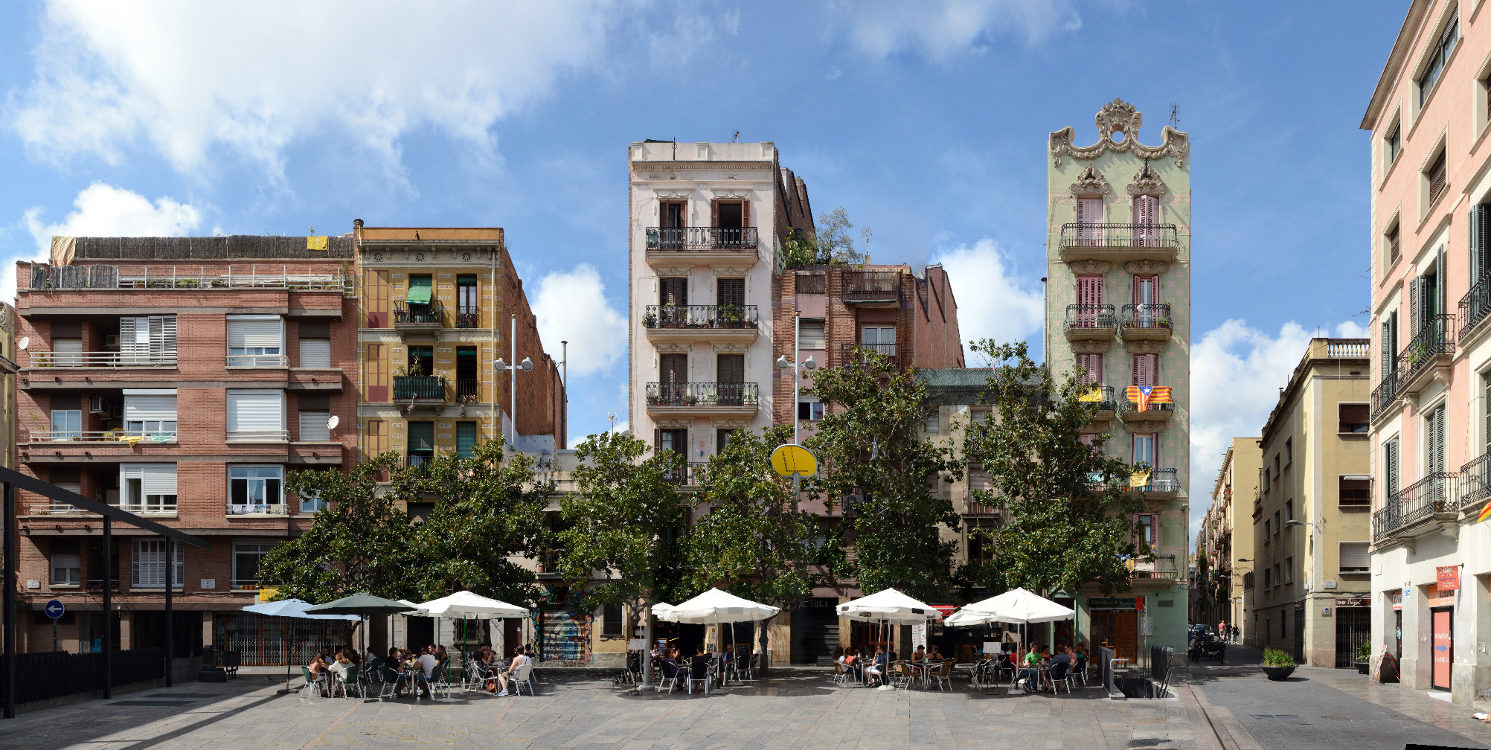
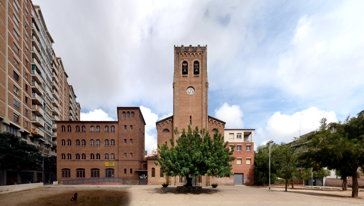
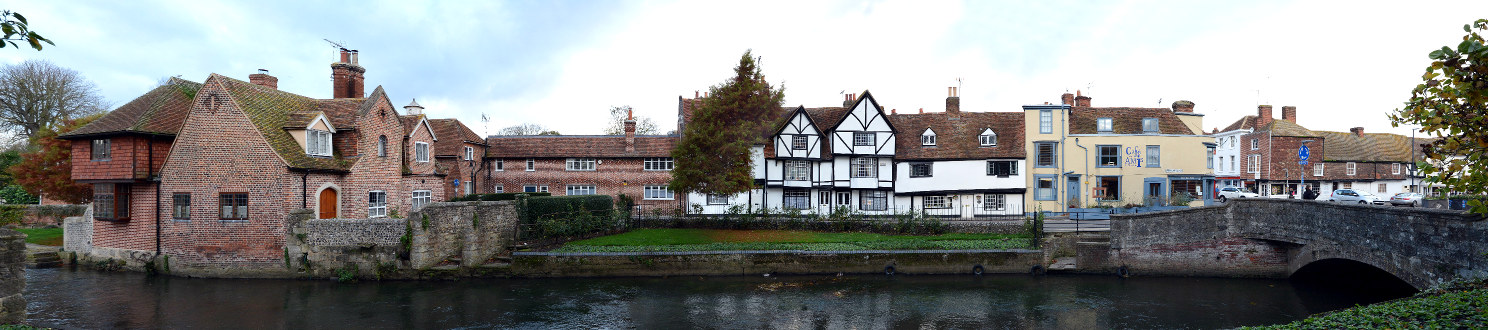
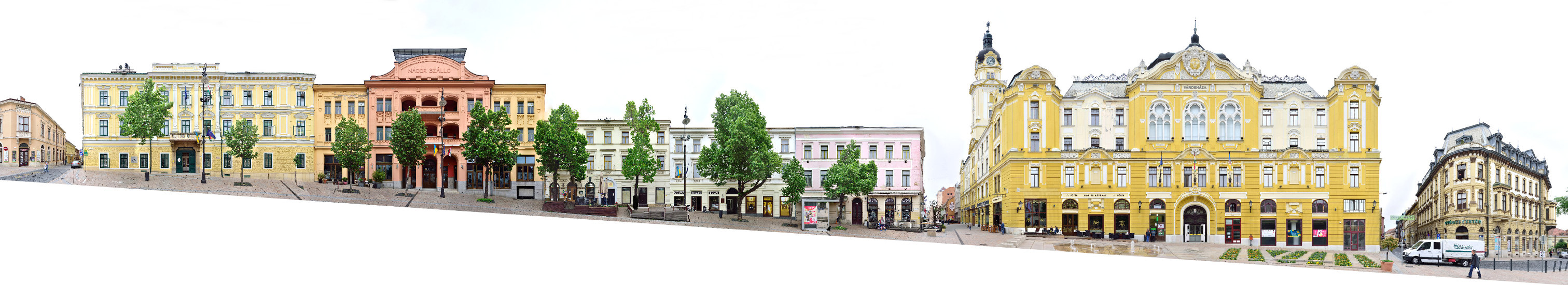
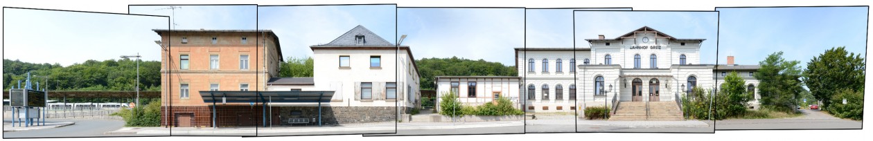
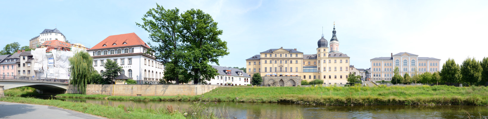
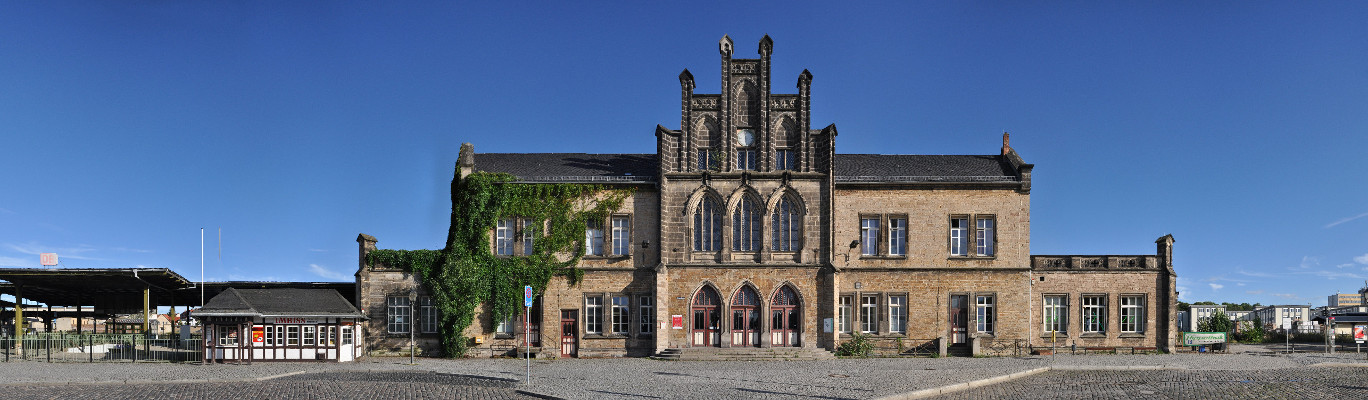
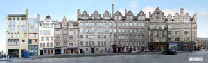
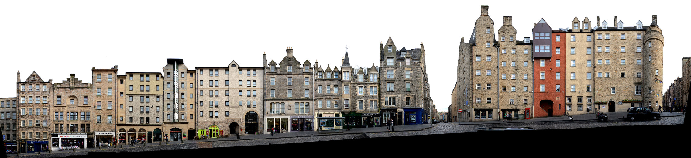
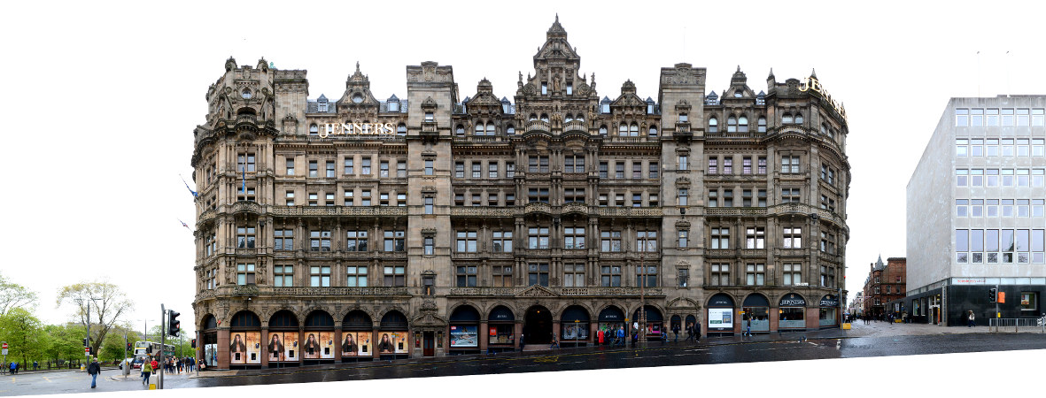
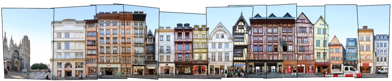
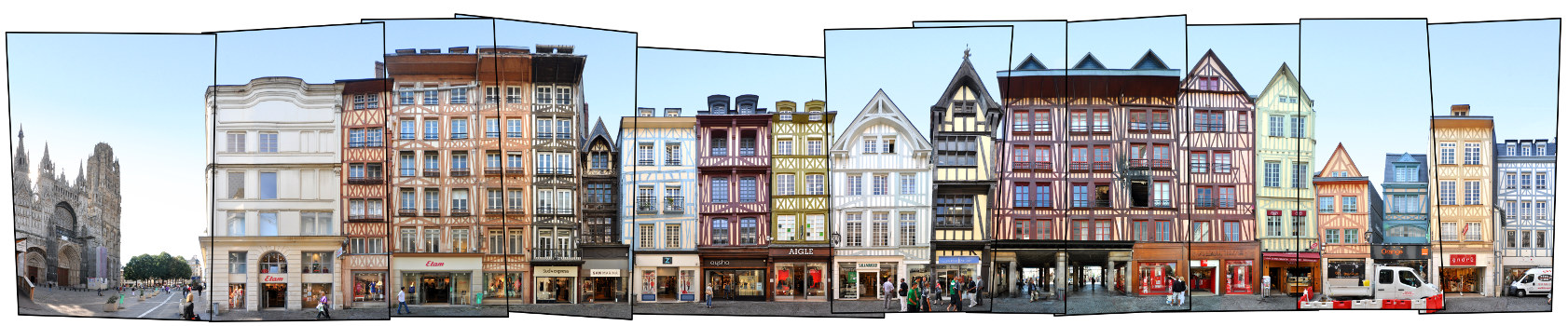
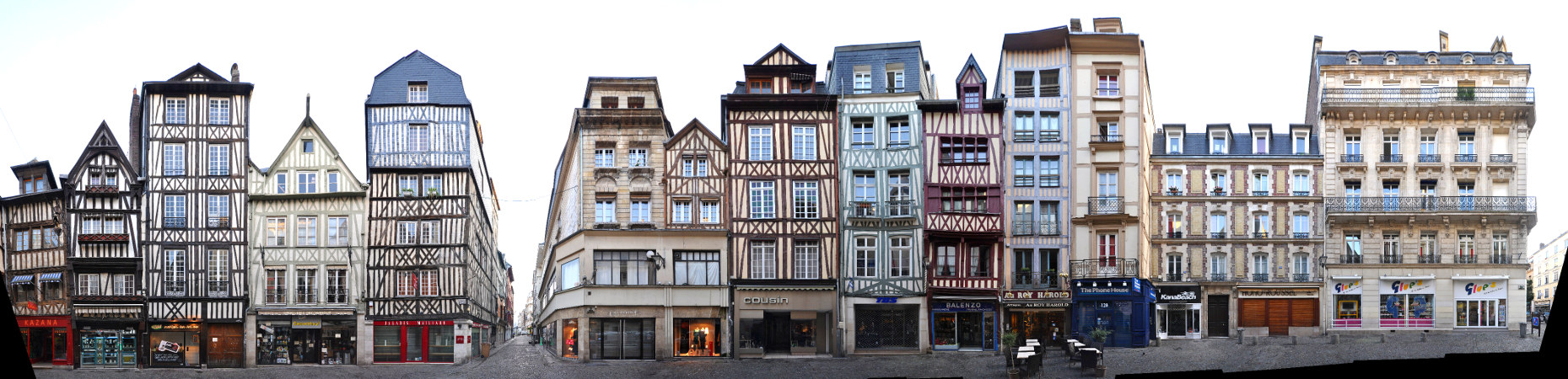
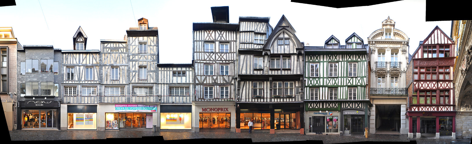
We documented more streets and places, which can be seen in our Frankfurt overview.

Some of these examples:

Kaiserstrasse

Kaiserstrasse streetview Frankfurt panorama image foto

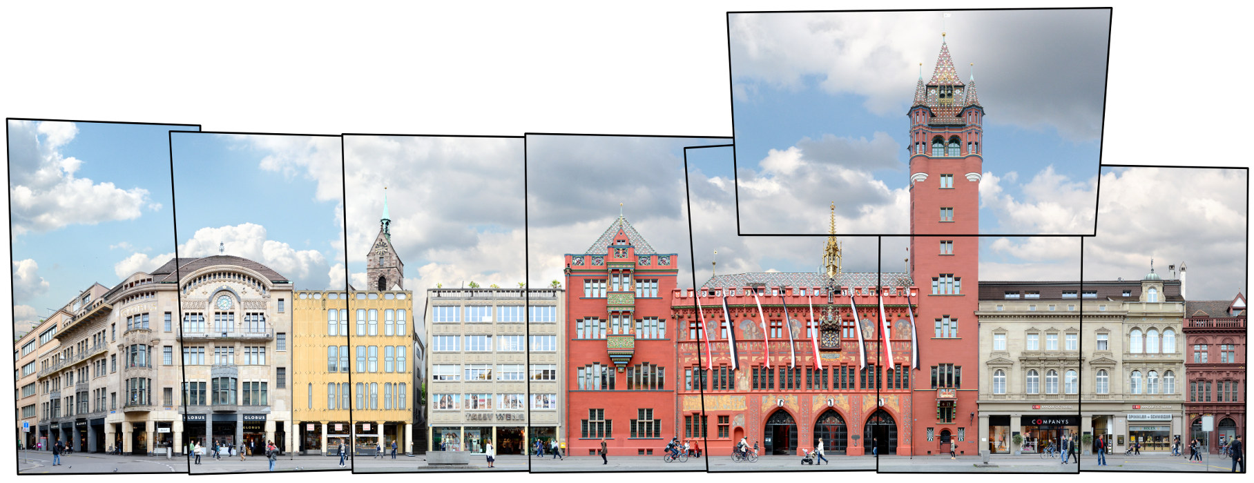
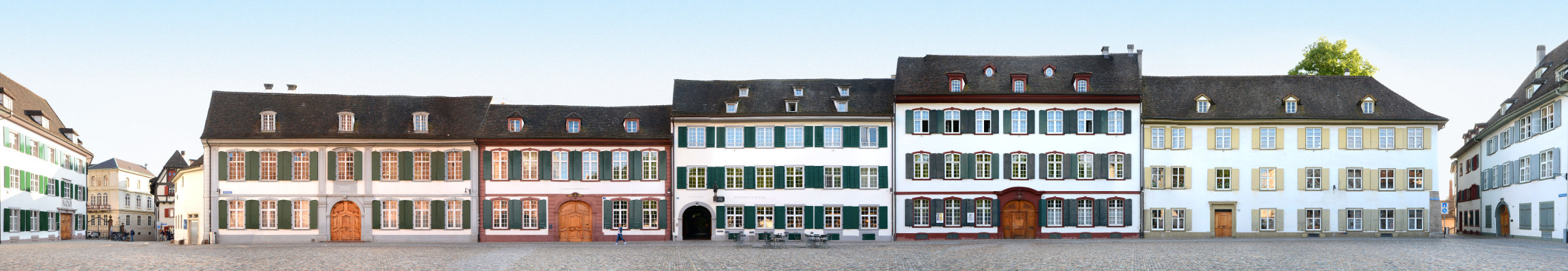
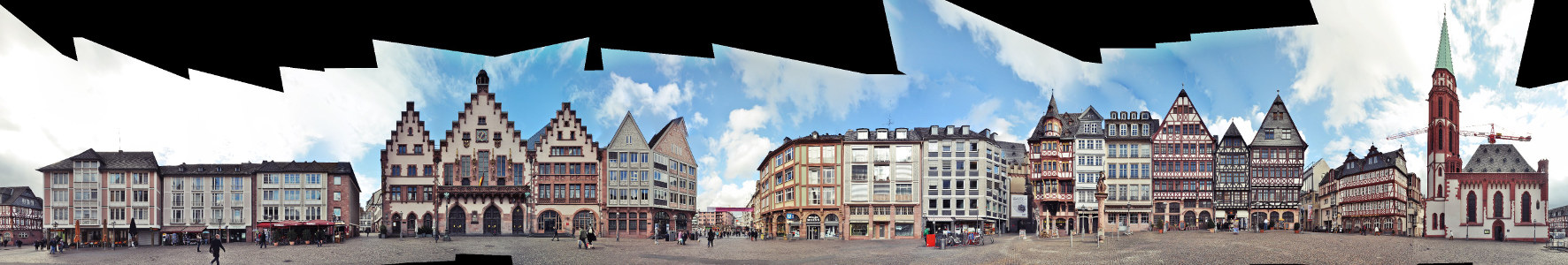
Römerberg | City Hall | Nikolaikirche (unfinnished)

Römer Frankfurt Markt Römerberg

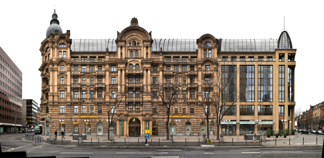
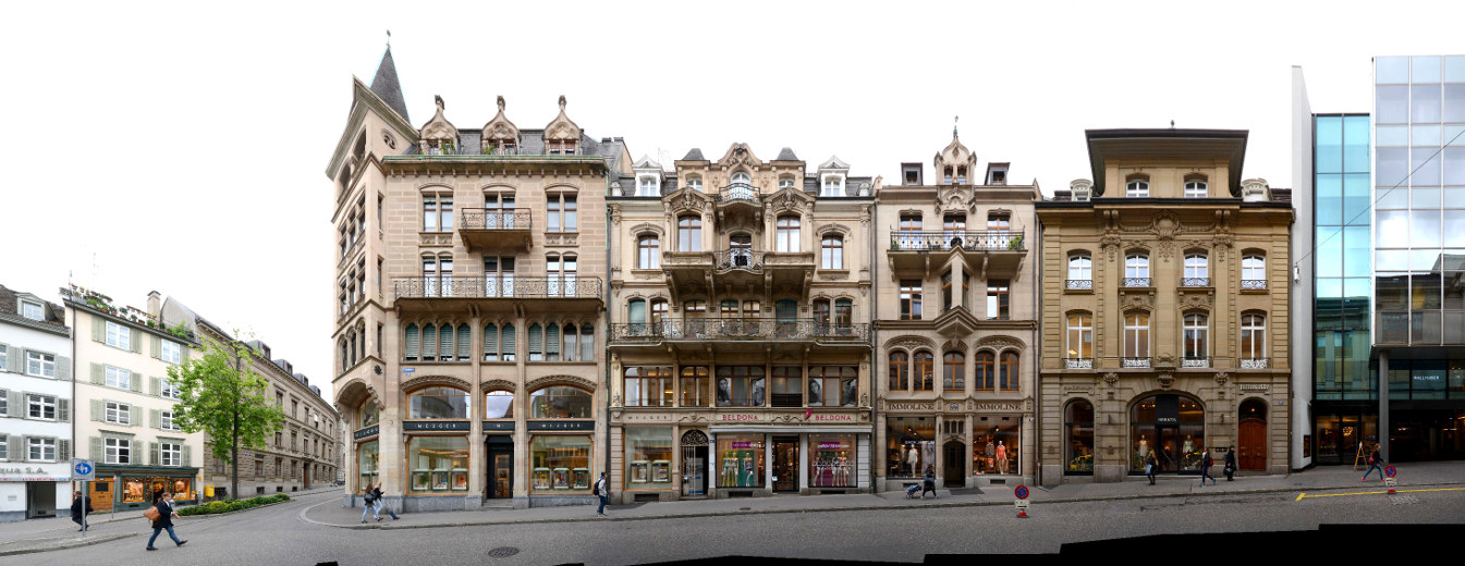
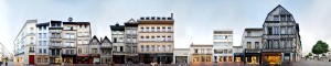
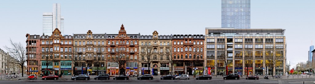
Gallusanlage (unfinnished)

Gallusanlage Frankfurt Main Commerzbank

Basle | Switzerland | Marktplatz | Week 27

Basle [german: Basel; french: Bâle], founded ca. 50 AD by Celts and later named Basilia by the Romans. Lies in the Swiss-German-French tripoint on the shores of the Rhine about 75 km west of Zurich, 300 km west of Munich and 400 km east of Paris. 3rd largest city in Switzerland.

Population: 175.000 [2015] | 178.000 [1990] | 148.000 [1930] | 109.000 [1900]

Basle became a Prince-Bishopric, being ruled by a Bishop, by 999 and in 1501 it joined the Swiss Confederation. The city owns the oldest university (1460) in Switzerland, where Erasmus of Rotterdam and Paracelsus lectured. It was also an early publishing centre of europe. Today Basle is a centre of the chemistry and pharmaceutic industry. The Treaty of Basel ended the Swabian War in 1499. In 1795 the peace of Basel ended the war between France and Prussia/Spain. Also the 1st World Zionist Congress was held in Basel in 1897 and the Basel Convention (1989) lead to a modern international managment of hazardous waste.

In the cityscape above we see the town hall side of the Marktplatz in Basle’s old town. The dominating red building is the city’s town hall, which dates back to 1504 in its oldest parts. Its current shape and facade was designed during a restoration between 1898 and 1904 when the large tower was added as well. An invisible feature of the square is the river Birsig which is covered and runs beneath it towards the Rhine.

Click for larger view:

Basel Basle Marktplatz Architektur Panorama

For classic view and more infos about the place (german link):

Basel Basle Market Square Cityscape

We documented more streets and places in Basle. Find some unfinnished examples below.

Münsterplatz Basel Basle Architecture

Münsterplatz

Basle Freie Strasse streetview

Freie Straße

Genoa | Italy | Via XX Settembre | Week 26

Genoa [italian: Genova; latin, german: Genua; french: Gênes], oldest references from the 6th century BC as (a probably greek city) Stalia in Liguria but might have been inhabited much earlier. Lies on the mediterranean coast at the centre of the ligurian coastal arch, south of Milan and in the centre of a triangle with Marseille (west, 300 km), Zürich (north, 325 km) and Rome (southeast, 400km). 6th largest city in Italy, 69th largest city in europe.

Population: 587.000 [2015] | 679.000 [1991] | 591.000 [1931] | 378.000 [1901]

Genoa, also called La Superba (the proud one), is especially known for its glorious past. The Romans renamed it Genua and gave it municipal rights. The city had its golden times as the Maritime Republic of Genoa, especially from the 12th to the end of the 14th century. During that time it was one of the leading maritime powers in the Mediterranean with colonies in the Middle East, the Aegean, Sicily and Northern Africa. It controlled Liguria, Piedmont, Sardinia, Corsica and Nice and had trade outposts in many places, especially in Spain and Constantinople. It had another golden time from the 16th century to the French Revolution when the genoese banks collaborated closely with the spanish crown. A famous son of the city was Christopher Columbus, born here in 1451. During the 19th and 20th century Genoa established itself as a ship-building and industrial powerhouse of Italy. Its Palazzi dei Rolli and the Le Strade Nuove („the new streets“) gave the city an UNESCO world heritage site and in 2004 it was a european capital of culture.

Our streetline presents a section of the  southside of Via XX Settembre in Genoa. This major east-west street from the city centre (at Piazza de Ferrari) towards the East and San Vincenzo developed in the late 19th century. The street is crossed by the bridge Ponte Monumentale in its middle, which we can see at the left edge. It is a major shopping and promenading street of the Genoese and lined by representative buildings from the period, especially some of the finest Art Nouveau buildings in the region.

Click for larger view:

Street view Streetline Streetscape Genoa Genova Italy Italia

For classic view and more infos about the place:

Via XX Settembre Genoa Genova Italy Italia

We documented many more streets and places in Genoa. Find some unfinnished examples below.

Strada Nuova Palazzi dei Rolli Genova Genoa

Via Garibaldi | Strada Nuova

Piazza Caricamento Genoa Genua

Piazza Caricamento

Palazzo San Giorgio Genoa Italy Sights

Palazzo San Giorgio

Avignon | France | Palais des Papes | Week 25

Avignon [latin: Avenio], founded in the 6th century BC as Aouenion by greek settlers from Massalia (Marseille). Lies on the left bank of the Rhône river ca. 80 km north of Marseille and 200 km south of Lyon. Avignon is the largest city of the Department Vaucluse, the 5th largest in the Région Provence-Alpes-Côte d’Azur and Nr. 46 in all of France.

Population: 90.000 [2013] | 87.000 [1990] | 57.000 [1931] | 47.000 [1901]

Avignon has always been situated at the border of different countries, it belonged amongst others to the Greek, the Romans, the Franks, the Kingdom of Provence and Arles, the german Holy Roman Empire, the Papal State and finally to France following the French Revolution. Once in history Avignon became an important political centre – that was after the Pope decided to move its seat from Rome to Avignon in 1309, chosen for its proximity to the papal ruled Comtat Venaissin. For about 70 years the city was the centre of Christianity and served seven popes and two antipopes. Afterwards it still served as a second centre of the pope who sent a papal legate to rule the city. Today the cityscape is still dominated by the gothic 14th century Papal Palace and together with the cathedral and the famous Pont St. Bénézet bridge it earned the city UNESCO world heritage status in 1995.

The short papal rule in Avignon shaped the city more than anything else in its 2.500 years of history, especially with the errection of the Palais des Papes (english: Papal Palace). It was built between 1335 and 1370 by the ruling popes, the main architects were Pierre Poisson (old palace) and Jean de Louvres (new palace). Up until today the palace remains the largest gothic style building in europe. In this panoramic view we see the new palace (Palais-neuf) with the main entrance in the right half, the old palace (Palais-vieux) left of it a little bit to the back and the Avignon Cathedral (Cathédrale Notre-Dame des Doms d’Avignon) left of the Papal Palace. The palace gradually lost its importance and after the french revolution it was used as a military barracks and prison which resulted in the damage of most of its interior and frescos. Since 1906 it is a national conservation project and undergoes restoration ever since.

The Avignon Cathedral was originally built in the 12th century and serves as the seat of the archbishop of Avignon. After restoration in the 19th century a gilded statue of the Virgin Mary was placed atop in 1859.

Find more streetviews and cityscapes from France in our France overview.

Click for larger view:

Palais des Papes Architecture Gothic View Street France

For classic view and more infos about the place:

Palais des Papes France Avignon Panorama

Barcelona | Spain | Passeig de Gracia | Week 24

Barcelona [latin: Barcino; greek: Varkelóni] founded by the Laietani as Barkeno sometime before 250 BC, later restructured by the Carthaginians and Romans. Lies on the mediterranean coast in north-east spain, about 500 km east of Madrid, 900 km south of Paris and 300 km south-west of Marseille. Second largest city in Spain and 17th largest city in europe.

Population: 1.605.000 (2015) | 1.707.000 (1990) | 1.006.000 (1930) | 544.000 (1900)

Barcelona is the capital of the autonomous spanish region Catalonia and its economic centre. It has always played an important rule as a major harbour on the mediterranean coast and is the seat of the Union for the Mediterranean, an organization of european, african and arabian countries. In 1992 it hosted the Olympic Games and it is listed as a UNESCO world heritage site with works by the modernisme architects Antoni Gaudí and Lluís Domènech i Montaner. Gaudís magnum opus, the Basilica Sagrada Familia which was started in 1882 and is scheduled to be finnished in 2026, is a major tourist attraction of europe.

The Passeig de Gràcia is regarded the most elegant street of Barcelona and runs through the Eixample from the Placa de Catalunya in the south to the Gràcia district in the north. Here the leading modernisme architects created several representative buildings in the later 19th and early 20th century. Amongst the architects that worked on this street block we find Lluís Domènech i Montaner with the Casa Lleó-Morera at the left edge, Antoni Gaudí with the famous Casa Batlló, the second last on the right and Josep Puig i Cadafalch with the Casa Amatller on its left side. With all these architects and their distinct styles so close to each other this street block was later famously called the Mansana de la Discordia – meaning at the same time Apple or Block of discord and referencing greek mythology in view of this built competition of Modernisme. Find more infos and detail views in our archive or look for other Barcelona streetlines.

Click for larger view:

Panorama Casa Batllo Passeig de Gracia Amatllo

For classic view and further details visit the archive (german link):

Casa Batllo Antoni Gaudi Barcelona Espana

Another published streetline view of Barcelona is the Placa Reial:

Placa Reial Barcelona

We documented more than 50 streets and places in Barcelona. Find some unfinnished examples below.

Barcelona Via Laietana Architecture Photography

Via Laietana, part of this longer panorama:

Barcelona Via Laietana streetline

Via Laietana

Architecture Barcelona Ronda de la Universitat

Ronda de la Universitat

Streetline Architekturfotografie Spanien Katalonien

Plaza del Sol

Parroquia de Christo Rey Church Barcelona

Parroquia De Cristo Rey

Canterbury | United Kingdom | St Peter’s Street | Week 23

Canterbury [old german: Kanterburg; welsh: Caergaint], first recorded (BC) as the main settlement of the celtic cantiaci tribe, became a Roman City as Durovernum Cantiacorum in the 1st century AD. Situated 80 km east of London and about 200 km west of Brussels on the shores of the river Stour.

Population: 55.000 [2011] | 43.000 [2001] | 24.000 [1931] | 25.000 [1901]

Canterbury was a capital for the celtic Cantiaci and for the Jute Kingdom of Kent, however its most prominent role has been in church history. Here the oldest church of the english speaking world can be found (St Martin’s Church), St Augustine started his apostle work and the christianisation of England here and the archbishop of Canterbury is the Primate of the Church of England. St Augustine’s Abbey, Canterbury Cathedral and St Martin’s Church form an UNESCO world heritage site. The city is also home to the world’s oldest School, the King’s School. Today the city has one of the strongest economies in the region and is one of the UK’s most visited tourist destinations.

The panorama above shows one of the cities major non-religious landmarks, the Old Weavers House, at the right edge. It was used by the Huguenots and is one of the (still numerous) timber framed 16th and 17th century houses that survived the german Blitz bombings in world war II. St Peter’s street is named after St Peter’s church, which we see a little bit in the back on the left edge. The street connects the High Street at its east end with the Westgate in the west.

To find more published streetline views from the UK visit our United Kingdom archive.

Click for larger view:

Canterbury Cityscape UK Panorama Image

For classic view and more infos about the streetview:

Canterbury Panorama Foto

We have captured some more streetviews in Canterbury a few of which we present here in unfinnished previews:

Canterbury Panorama Buttermarket Cathedral Gate

Cathedral Gate | Buttermarket | Burgate

Canterbury Preview

Great Stour | Westgate Grove

Canterbury High Street

High Street | Royal Museum

Pécs | Hungary | University | Week 22

Pécs [german: Fünfkirchen; latin: Quinque Ecclesiae; serbian: Pečuj], known in the 3rd century Roman Empire as Sopianae, then first mentioned as Quinque Basilicae (english: five cathedrals) in 871, lies in a triangle south of Budapest, east of Zagreb and northwest of Belgrade about 150-200 km away from each of these capitals. 5th largest city in Hungary.

Population: 146.000 [2015] | 170.000 [1990] | 74.000 [1930] | 54.000 [1900]

Pécs is one of the oldest cities in Hungary and known for its multicultural flair and history. It is the capital of the Baranya County and the seat of the Roman Catholic Diocese of Pecs. The Early Christian Necropolis of Pecs (Sopianae) has been declared a UNESCO world heritage site in 2000. The city had been a part of Hungary since the late 9th century. It fell under Ottoman Rule in 1543 and was freed again 1686 to become part of the Austro-Hungarian Empire. After World War I it became part of the new state Hungary in 1921. Pécs has been a European Capital of Culture in 2010.

The University of Pécs (Pécsi Tudományegyetem) has first been founded in 1367 by Louis I. the Great and was the first university in Hungary. It was however discontinued under Ottoman Rule. The modern university of Pecs was founded in 1912 in Pozsony (now Bratislava) and moved to Pecs in 1921. Above we see the front facade of its main building, housing the Faculty of Business and Economics (KTK).

Click for larger view:

Pécsi Tudományegyetem University Hungary

For classic view and more infos about the streetview (german link):

Pécsi Tudományegyetem Panorama Foto

Another street view we documented is from Széchenyi Square with the Nádor Szálló and Pécs Town Hall (Városháza), previewed here:

Széchenyi Square Streetview Panorama Pecs Hungary

These panoramas of Pécs were created based on photographies taken by the hungarian photographer Kerényi Zoltán.


Greiz | Germany | Train Station | Week 21

Greiz, first mentioned as Grewcs in 1209, lies 80 km south of Leipzig, 120 km west of Dresden and ca. 250 km east of Frankfurt on the river Weisse Elster. 18th largest city of the german state Thuringia (german: Thüringen).

Population: 21.000 [2014] | 36.000 [1984] | 39.000 [1931] | 23.000 [1905]

Greiz, also nicknamed the „Pearl of the Vogtland“ is situated in the thuringian Vogtland, named after the Vögte (advocats) of Weida, Gera, Plauen and Greiz. First a residence in the mid 13th century it has been home to the „House of Reuss“, a ruling german dynasty, from the 14th century to 1918. They have built the two castles in the city, the Oberes Schloss (Upper Castle) and Unteres Schloss (Lower Castle). As a former residence city Greiz is known for its representative buildings, some of them in Art Nouveau style, and the english style Greizer Park with its Sommerpalais (summer palace).

Here we see the main train station building of Greiz with its annexe buildings. The station building was errected in the 1870s when the connection to Plauen was established. At the time of this photograph in 2014 it was uninhabited and as a sign on its door declares „for sale“ – though trains are still stopping at the station. However we chose this street view as an example of train stations in linear panorama views. The historic station buildings all over europe often occupied a complete street front hard to be photographed in its entirety. You can find more examples in our train station archive.

Click for larger view:

Bahnhof Greiz Thueringen Panorama

For classic view and more infos about the streetview (german link):

train station germany greiz

Previously published streetlines from Thuringia and Greiz

Yet unpublished here is a linear view of the central ensemble with the Lower Castle, the Gymnasium and the Upper Castle in the back:

Greiz Panorama Unteres Oberes Schloss

We documented a number of train station buildings across europe (inlcuding Istanbul, Prague, Paris, Milan, Glasgow…) which are yet unedited, here are some unfinnished examples:

Görlitz Bahnhof train station

Quedlinburg train station germany

Bahnhof Rheinland Pfalz Worms

Öuxor train station test photography

Prague train station

top to bottom: Görlitz, Quedlinburg, Worms, Luxor, Prague


Edinburgh | United Kingdom | Victoria Street | Week 20

Edinburgh [scottish gaelic: Dùn Èideann; french: Édimbourg], the hill forth Din Eidyn by the Gododdin tribe was built sometime before 600 AD and the city was founded as a royal burgh in the early 12th century. Situated about 70 km east of Glasgow and ca. 550 km north of London on the southern shore of the Firth of Forth. 2nd largest city in Scotland, 8th largest city in the United Kingdom and 61st largest city in the european union.

Population: 493.000 [2014] | 419.000 [1991] | 439.000 [1991] | 395.000 [1901]

Edinburgh, lying east of Glasgow in the scottish central belt, has been the capital of Scotland since the mid 15th century, hence it is the seat of the Scottish Parliament and of the monarchy in Scotland. The city is a UNESCO world heritage site since 1995, notably for its Old Town with Edinburgh Castle, the Holyrood Palace and the Royal Mile connecting the two, as well as the planned 18th century Georgian New Town. The city is also home to the National Museum and the National Library of Scotland as well as the Scottish National Gallery. Today the city is known for its strong economic, especially in the financial sector and the tourism industry, as well as its cultural festivals, especially the Edinburgh International Festival and the Fringe Festival.

Victoria Street is the historical, being called West Bow then, entrance to the Castle Hill from western direction. It was transformed to its current shape in the early 19th century and renamed Victoria Street when Queen Victoria was crowned. Most buildings were errected in the mid 19th century, though some older buildings remained at the foot of the street. Here we see the grand India Buildings from 1864 on the left and the former St. John’s Church from 1838 in the middle.

For more Edinburgh street views visit our Edinburgh Architecture blog post.

Click for larger view:

Edinburgh Panorama street view photography

For classic view and more infos about the street:

Edinburgh Streetview Photography Scotland

We documented several more streetline views in the Old Town and New Town of Edinburgh (see Edinburgh blog post) including the complete Royal Mile. This section of the Royal Mile (Lawnmarket) has been published before:

Scotland Royal Mile Photography

And a preview of the Royal Mile along the High Street:

Edinburgh Royal Mile Panorama

Another unfinnished preview of the Jenners department store in the New Town:

Edinburgh Jenners Preview

Rouen | France | Rue du Gros-Horloge | Week 19

Rouen [latin: Rotomagus], was founded by the tribe of the Veliocasses as Ratumacos, lies about 100 km north-west of Paris and 200 km south of London on the shores of the river Seine. 2nd largest city in the Normandy and 33rd largest city in France.

Population: 111.000 [2013] | 103.000 [1990] | 123.000 [1931] | 116.000 [1901]

The roman Rotomagus was the second most important city of the roman province Gallia after Lugdunum (Lyon). It has been the seat of a bishop since the 4th century. Rouen was captured by the Normans in the 9th century and became the first capital of the Duchy of Normandy in the early 10th century. After the French conquered it again in 1204 it once again belonged to the brittish crown from 1419 to 1449. In late medieval times Rouen was one of the largest european cities with about 40.000 inhabitants. It was here that Joan of Arc was burned at the stake in 1431. Today the city is known for its gothic cathedral and for having the largest number of preserved timber framed buildings in France.

The Rue du Gros-Horloge is a grand example for half-timbered buildings in Rouen. Indeed it is the major street between the cathedral square, we see the Rouen Cathedral at the left edge, and the old marketsquare – the Place de Vieux Marché. The street is named after Rouen’s second landmark, the Gros-Horloge, situated a little further down the right side of the street. It is a fourteenth-century astronomical clock, prominently placed at the side of a tower crossing the street and facing the cathedral.

Find more material from the Normandy in our Normandy overview.

Click for larger view:

Rouen France street view framework version

For classic view and more infos about the street:

Rouen France Panorama half timbered framed

We documented several more streets in Rouen, including more stretches of the Rue du Gros-Horloge, for example (unfinnished):

Image Rouen street view block

And a section following the main panorama further down the right ending at the Gros-Horloge (unfinnished):

Rouen Gros-Horloge Normandie

Here is an unfinnished preview of a little side street, Rue Ecuyere:

Rouen Fachwerk Frankreich

Previously published from Rouen: Rue Ganterie

Rouen street view block image