Greiz, first mentioned as Grewcs in 1209, lies 80 km south of Leipzig, 120 km west of Dresden and ca. 250 km east of Frankfurt on the river Weisse Elster. 18th largest city of the german state Thuringia (german: Thüringen).
Population: 21.000 [2014] | 36.000 [1984] | 39.000 [1931] | 23.000 [1905]
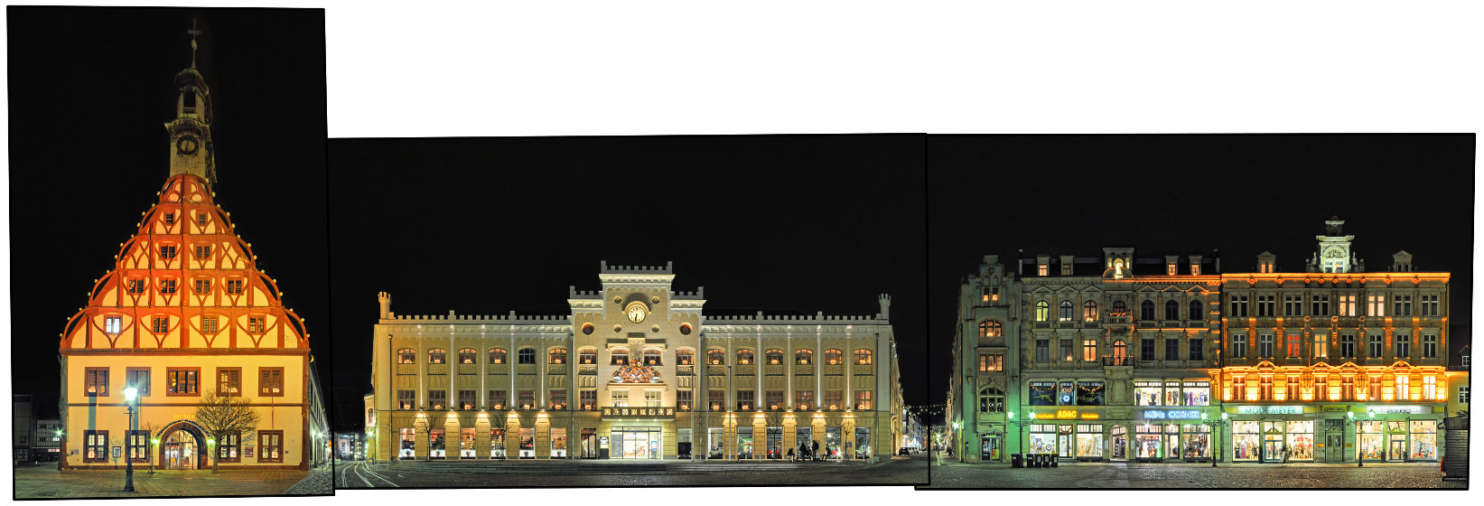
Greiz, also nicknamed the „Pearl of the Vogtland“ is situated in the thuringian Vogtland, named after the Vögte (advocats) of Weida, Gera, Plauen and Greiz. First a residence in the mid 13th century it has been home to the „House of Reuss“, a ruling german dynasty, from the 14th century to 1918. They have built the two castles in the city, the Oberes Schloss (Upper Castle) and Unteres Schloss (Lower Castle). As a former residence city Greiz is known for its representative buildings, some of them in Art Nouveau style, and the english style Greizer Park with its Sommerpalais (summer palace).
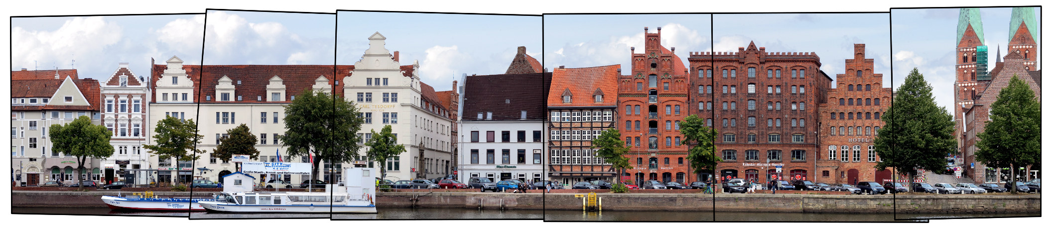
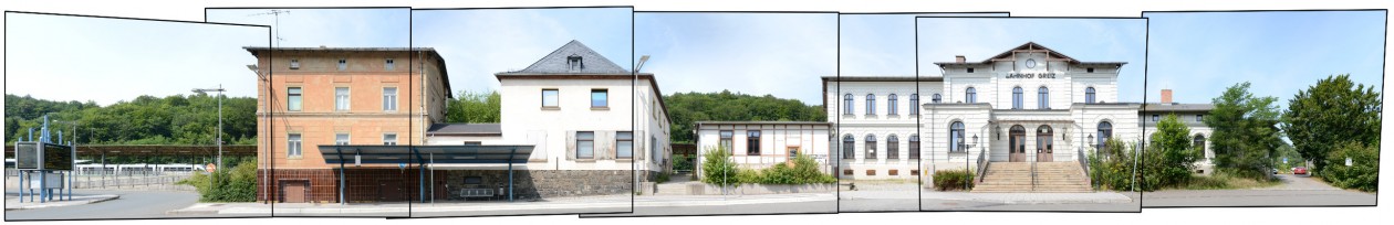
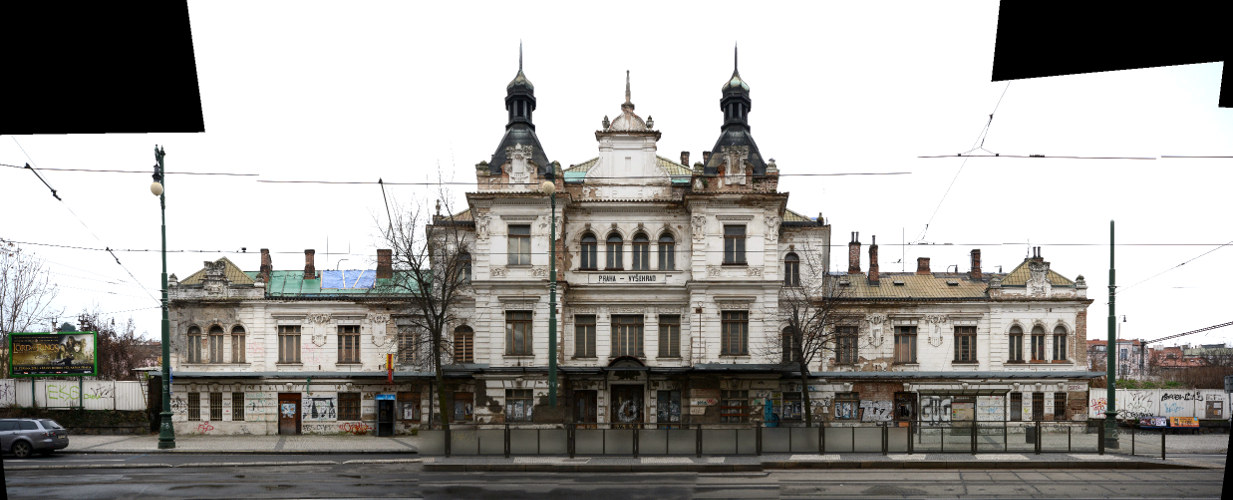
Here we see the main train station building of Greiz with its annexe buildings. The station building was errected in the 1870s when the connection to Plauen was established. At the time of this photograph in 2014 it was uninhabited and as a sign on its door declares „for sale“ – though trains are still stopping at the station. However we chose this street view as an example of train stations in linear panorama views. The historic station buildings all over europe often occupied a complete street front hard to be photographed in its entirety. You can find more examples in our train station archive.
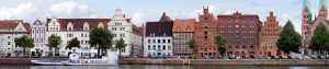
Click for larger view:
![]()
For classic view and more infos about the streetview (german link):
![]()
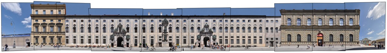
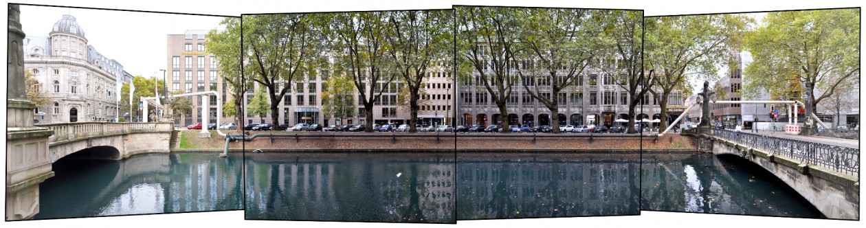
Previously published streetlines from Thuringia and Greiz
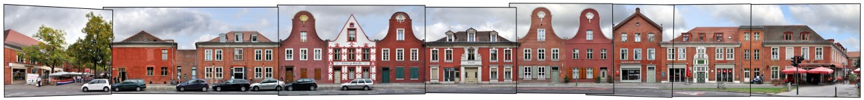
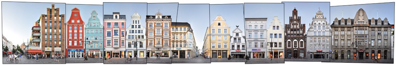
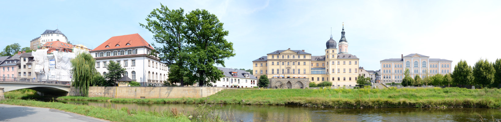
Yet unpublished here is a linear view of the central ensemble with the Lower Castle, the Gymnasium and the Upper Castle in the back:
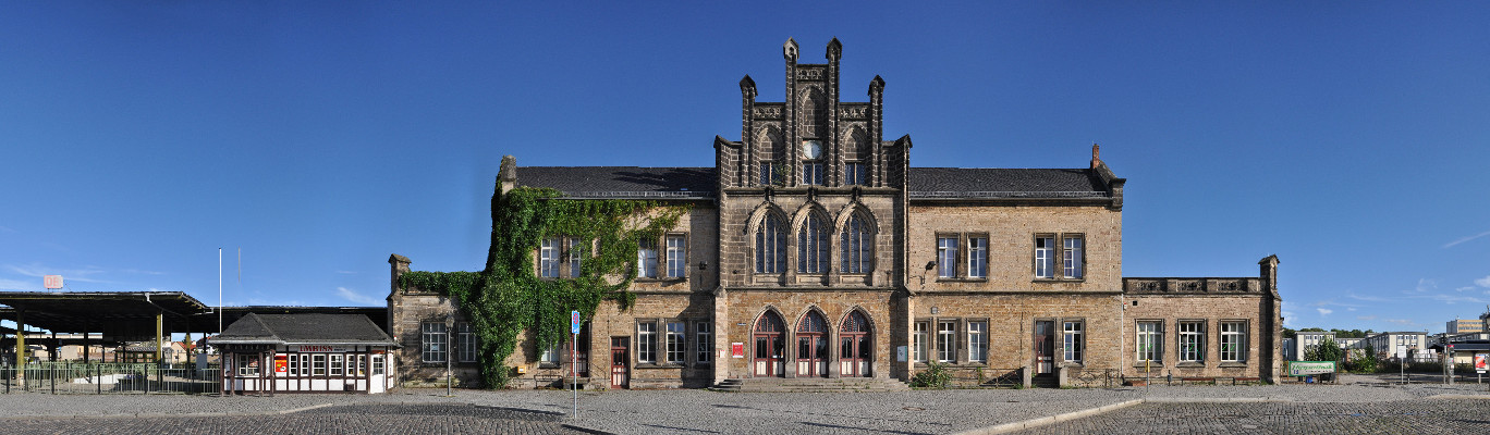
We documented a number of train station buildings across europe (inlcuding Istanbul, Prague, Paris, Milan, Glasgow…) which are yet unedited, here are some unfinnished examples:
![]()
![]()
top to bottom: Görlitz, Quedlinburg, Worms, Luxor, Prague