Genoa [italian: Genova; latin, german: Genua; french: Gênes], oldest references from the 6th century BC as (a probably greek city) Stalia in Liguria but might have been inhabited much earlier. Lies on the mediterranean coast at the centre of the ligurian coastal arch, south of Milan and in the centre of a triangle with Marseille (west, 300 km), Zürich (north, 325 km) and Rome (southeast, 400km). 6th largest city in Italy, 69th largest city in europe.
Population: 587.000 [2015] | 679.000 [1991] | 591.000 [1931] | 378.000 [1901]
Genoa, also called La Superba (the proud one), is especially known for its glorious past. The Romans renamed it Genua and gave it municipal rights. The city had its golden times as the Maritime Republic of Genoa, especially from the 12th to the end of the 14th century. During that time it was one of the leading maritime powers in the Mediterranean with colonies in the Middle East, the Aegean, Sicily and Northern Africa. It controlled Liguria, Piedmont, Sardinia, Corsica and Nice and had trade outposts in many places, especially in Spain and Constantinople. It had another golden time from the 16th century to the French Revolution when the genoese banks collaborated closely with the spanish crown. A famous son of the city was Christopher Columbus, born here in 1451. During the 19th and 20th century Genoa established itself as a ship-building and industrial powerhouse of Italy. Its Palazzi dei Rolli and the Le Strade Nuove („the new streets“) gave the city an UNESCO world heritage site and in 2004 it was a european capital of culture.
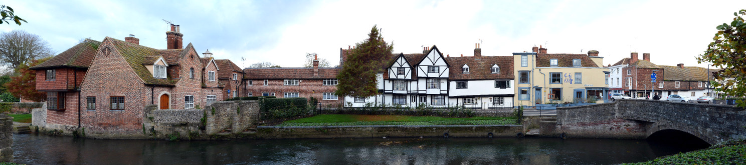
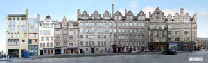
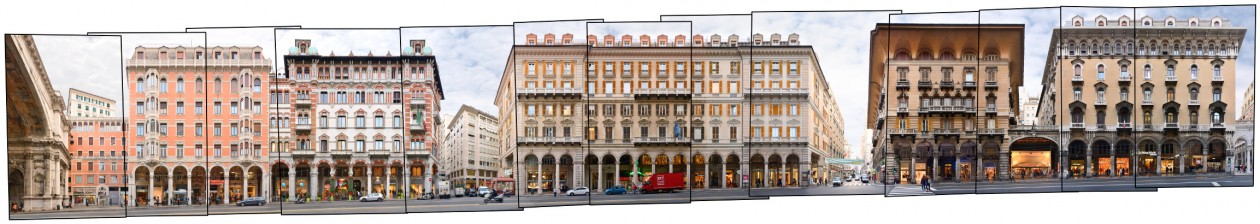
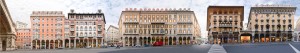
Our streetline presents a section of the southside of Via XX Settembre in Genoa. This major east-west street from the city centre (at Piazza de Ferrari) towards the East and San Vincenzo developed in the late 19th century. The street is crossed by the bridge Ponte Monumentale in its middle, which we can see at the left edge. It is a major shopping and promenading street of the Genoese and lined by representative buildings from the period, especially some of the finest Art Nouveau buildings in the region.
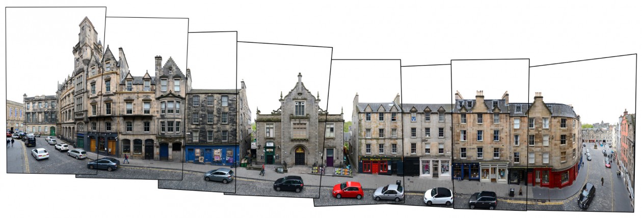
Click for larger view:

For classic view and more infos about the place:
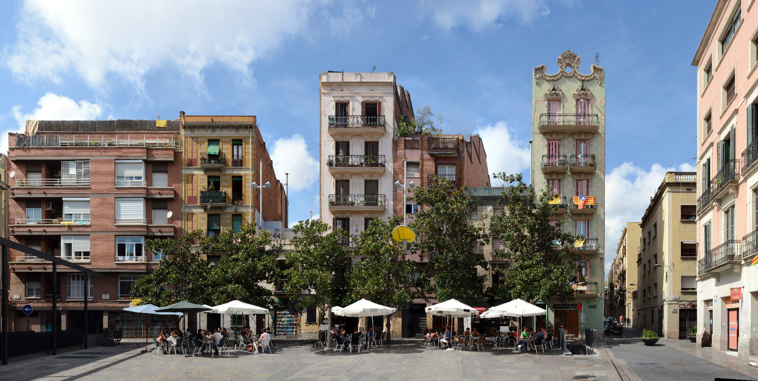
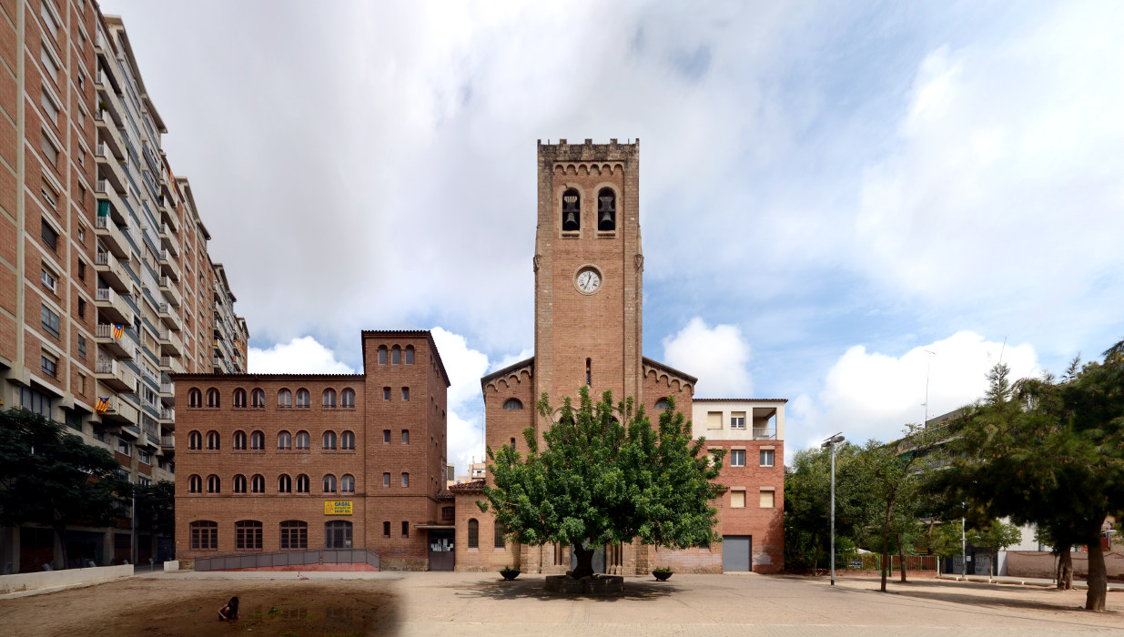
We documented many more streets and places in Genoa. Find some unfinnished examples below.

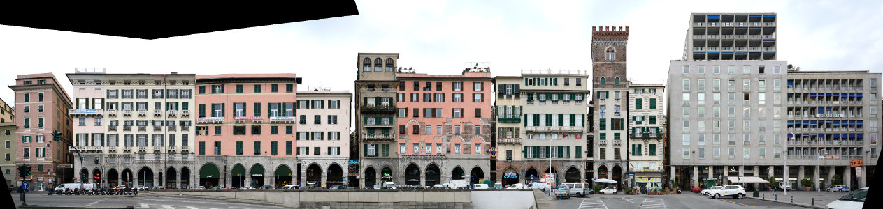
Via Garibaldi | Strada Nuova
Piazza Caricamento
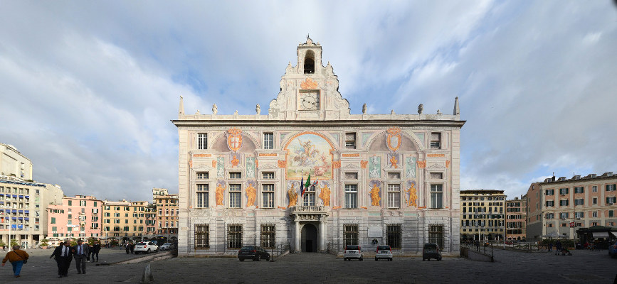
Palazzo San Giorgio