Pécs [german: Fünfkirchen; latin: Quinque Ecclesiae; serbian: Pečuj], known in the 3rd century Roman Empire as Sopianae, then first mentioned as Quinque Basilicae (english: five cathedrals) in 871, lies in a triangle south of Budapest, east of Zagreb and northwest of Belgrade about 150-200 km away from each of these capitals. 5th largest city in Hungary.
Population: 146.000 [2015] | 170.000 [1990] | 74.000 [1930] | 54.000 [1900]
Pécs is one of the oldest cities in Hungary and known for its multicultural flair and history. It is the capital of the Baranya County and the seat of the Roman Catholic Diocese of Pecs. The Early Christian Necropolis of Pecs (Sopianae) has been declared a UNESCO world heritage site in 2000. The city had been a part of Hungary since the late 9th century. It fell under Ottoman Rule in 1543 and was freed again 1686 to become part of the Austro-Hungarian Empire. After World War I it became part of the new state Hungary in 1921. Pécs has been a European Capital of Culture in 2010.
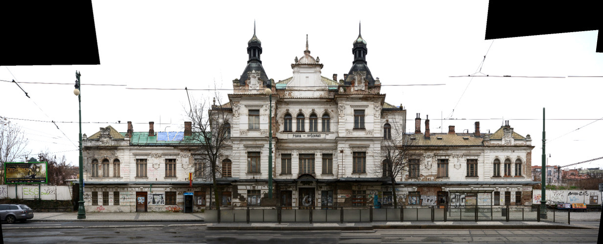
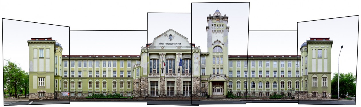
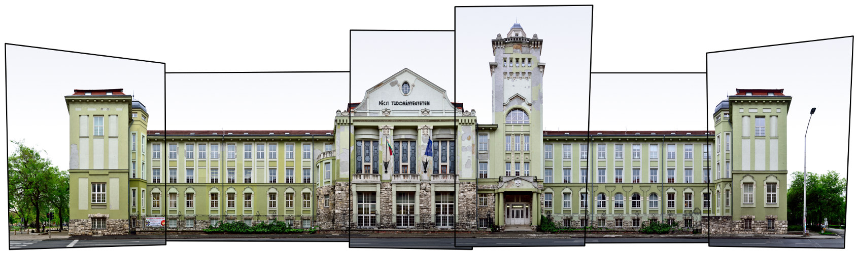
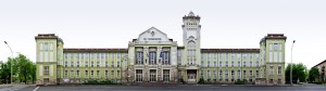
The University of Pécs (Pécsi Tudományegyetem) has first been founded in 1367 by Louis I. the Great and was the first university in Hungary. It was however discontinued under Ottoman Rule. The modern university of Pecs was founded in 1912 in Pozsony (now Bratislava) and moved to Pecs in 1921. Above we see the front facade of its main building, housing the Faculty of Business and Economics (KTK).
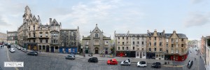
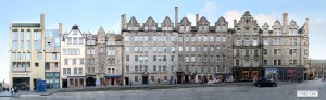
Click for larger view:
For classic view and more infos about the streetview (german link):
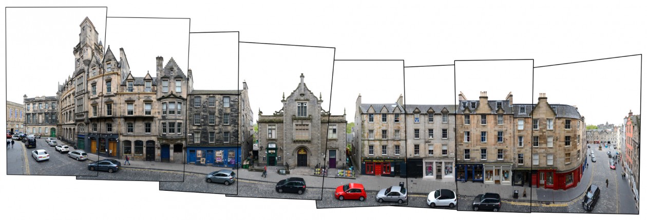
Another street view we documented is from Széchenyi Square with the Nádor Szálló and Pécs Town Hall (Városháza), previewed here:
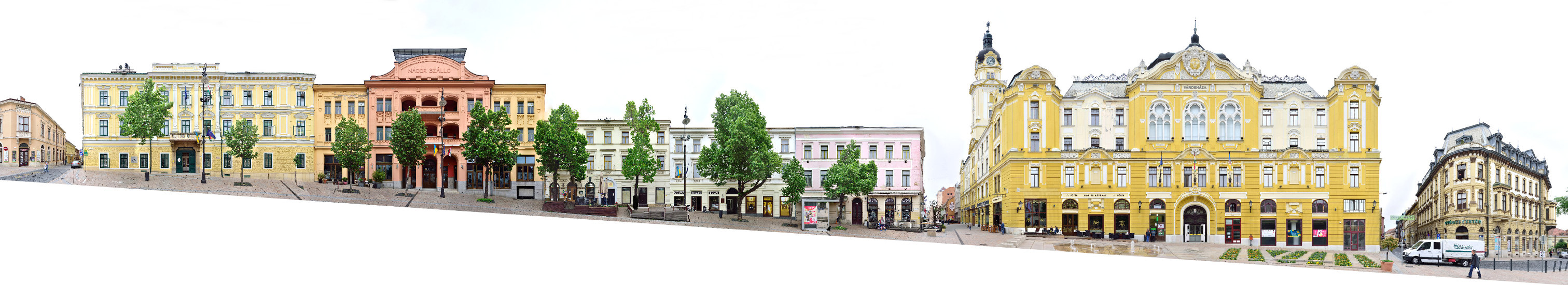
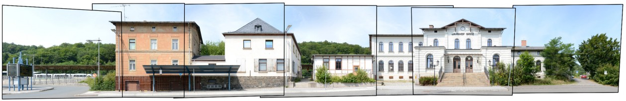
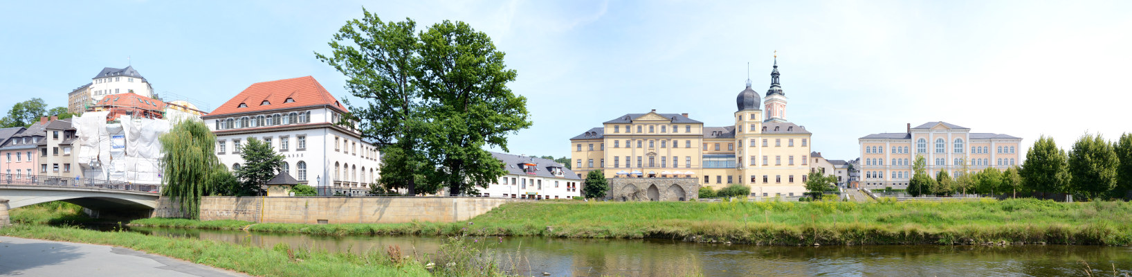
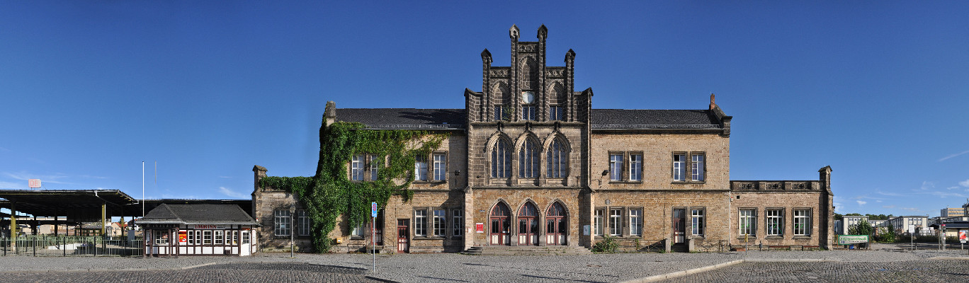
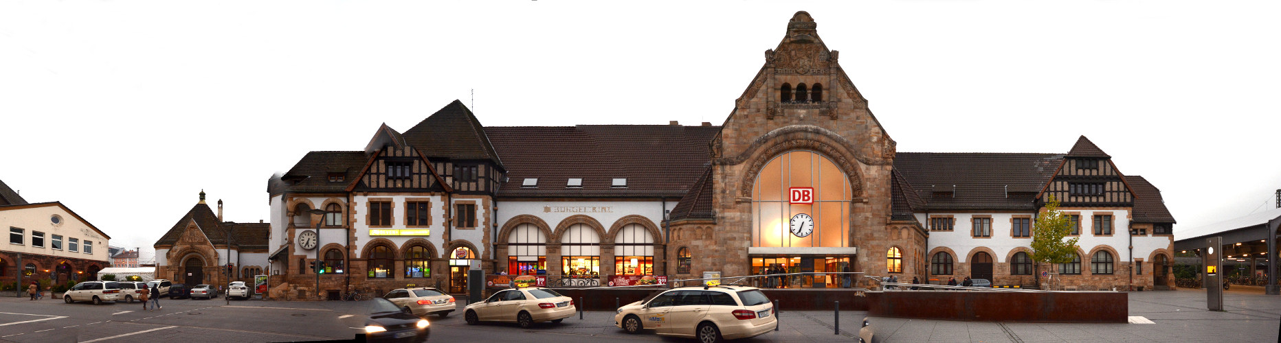
These panoramas of Pécs were created based on photographies taken by the hungarian photographer Kerényi Zoltán.