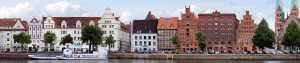
Helsingør [old english: Elsinore] founded in the 1420s, lies in the north east of the danish main island Zealand on the narrowest point of the Øresund, 40 km north of Copenhagen, west of the swedish city Helsingborg across the Øresund, 13th largest city of Denmark
Population: 46.500 (2015) | 34.400 (2006)
Helsingør has for centuries been the harbour where passing ships had to pay the Sound Dues, for a long time the major income for the danish crown. Today there is an important and much frequented ferry line to Helsingborg in Sweden. However the city is even more famous for Kronborg castle, an UNESCO world heritage site and the place where Shakespeare’s play Hamlet was set. The old harbour has been turned into the Kulturhavn Kronborg (Culture Harbour Kronborg).
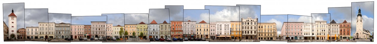
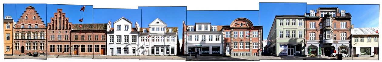
The Stengade is the major shopping street of Helsingør, running soutwest to northeast parallel to the sea in the south. Here on the east end of the street, there are some administrative buildings and fewer shops, which are concentrated towards the west end of the street.
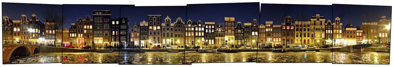
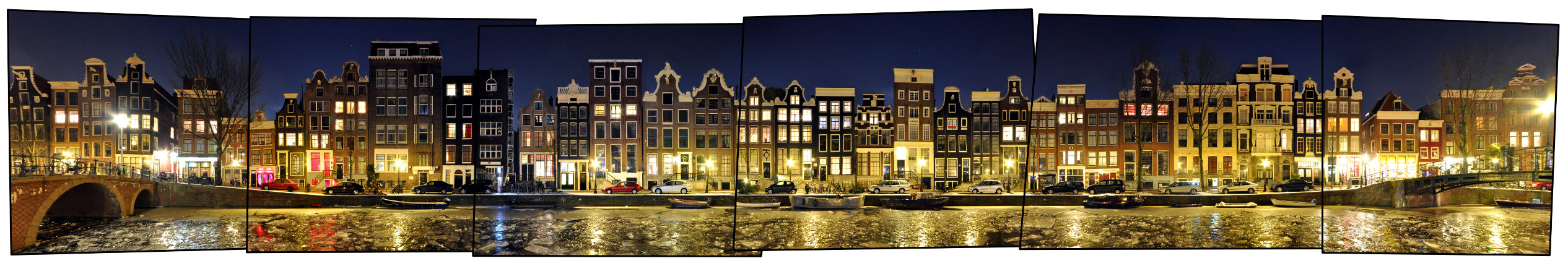
Visit our archive for other streetline panoramas from Denmark.
Click for larger view:
![]()
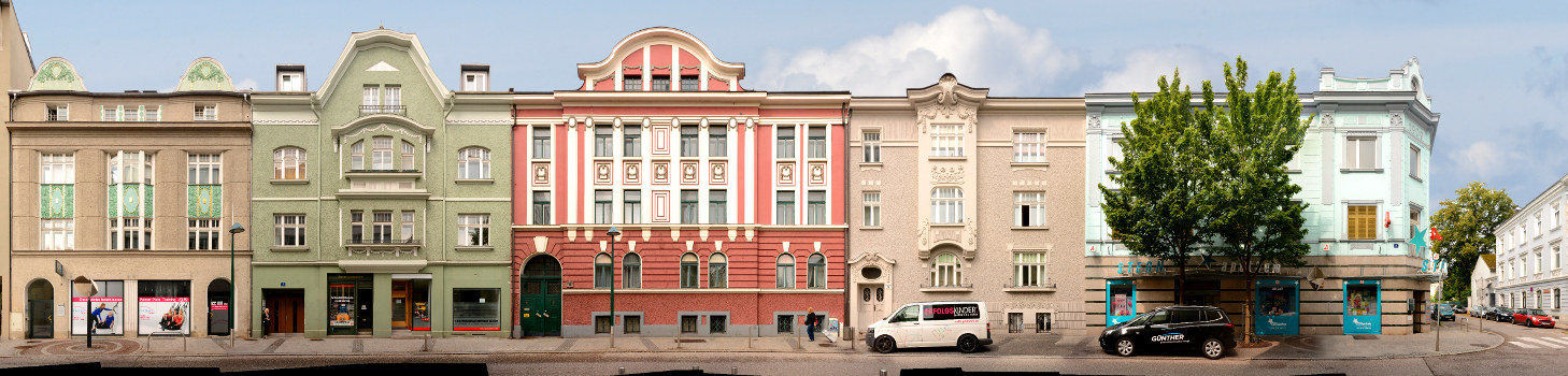
For classic view (unfinnished):
![]()
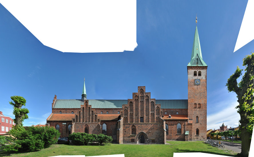
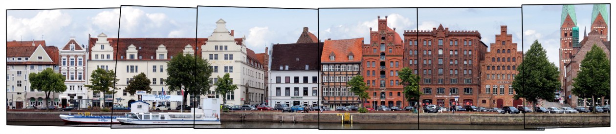
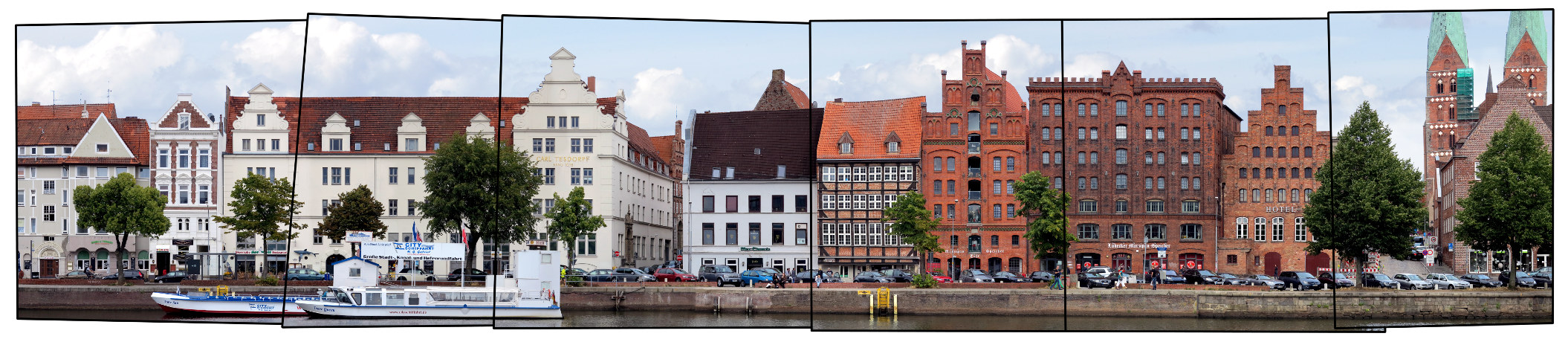
In our archive other sections of Stengade are included, as well as other streets from Helsingør and the Domkirke. Two unfinnished examples can be seen below.
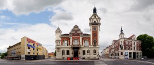
Sct. Annagade
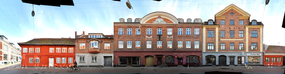
Domkirke