Schneeberg, founded in 1471 when silver was found below the mountain. It lies 200 km south of Berlin, 300 km east of Frankfurt and 150 km northwest of Prague. It is the 51st largest city in the state of Saxony, Germany.
Population: 13.900 [2019] | 22.300 [1984] | 13.600 [1946] | 6.900 [1834]
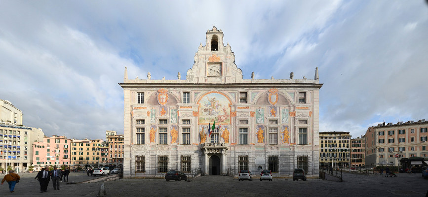
Schneeberg is a so called Bergstadt (mountain city). The city name can be translated to ‚Snow Mountain‘. When large silver deposits were found around the Schneeberg mountain in the late 15th century this prompted a mining boom (Berggeschrey) and a settlement quickly emerged. It took the new city only 10 years to gain the status of a free mountain city and in 1483 the Saxon Elector founded the Schneeberger Münze (mint facility). A legend tells the story of the Saxon Elector Albrecht dining on a table made entirely of silver in a local mine. The city quickly became rich and one of the largest late gothic churches was built in the 16th century – the St Wolfgang Church. Later the mining shifted towards other deposits like cobalt, wismuth and uranium until it was finally abandoned in 1957. In 2019 the Ore Mountains (Erzgebirge) became a UNESCO world heritage site, which inlcudes several places belonging to the city of Schneeberg.
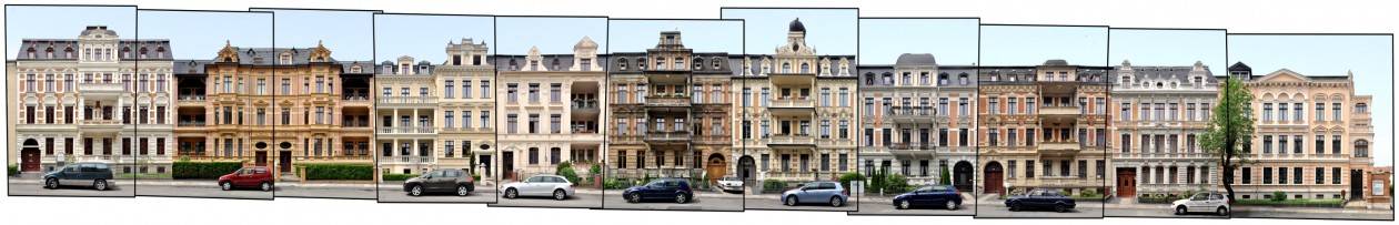
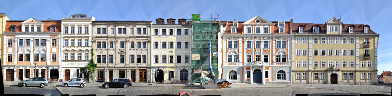
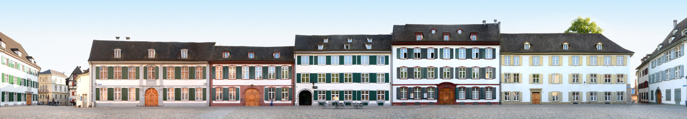
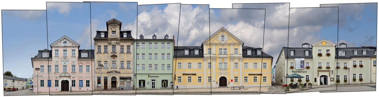
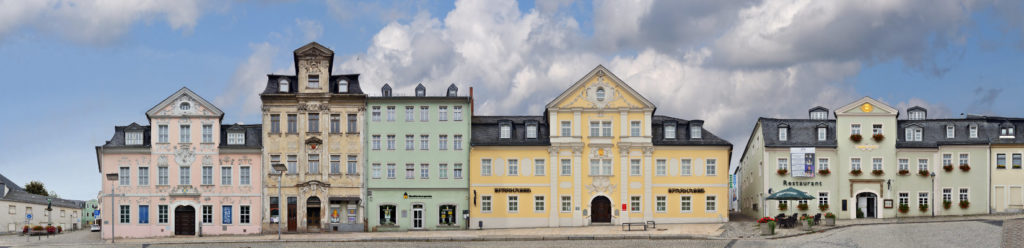
In 1719 a city fire destroyed Schneeberg, but the wealthy city was quickly rebuilt – in baroque style which gives it some distinction in the Erzgebirge area. The panorama above presents a street front which exemplifies why Schneeberg is now called the Barockstadt im Erzgebirge (Baroque City of the ore mountains). The panorama depicts a side of the Fürstenplatz square which includes the Schmeil-Haus (left), the Fürstenhaus (Sparkasse) and the cultural centre „Goldne Sonne“ (right).
Schneeberg is celebrating its 550 years jubilee in 2021.
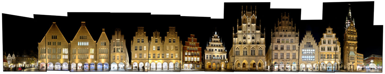
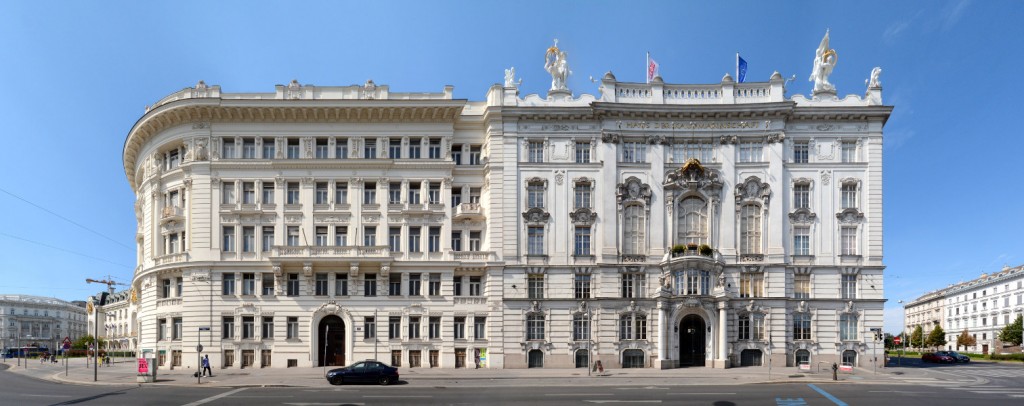
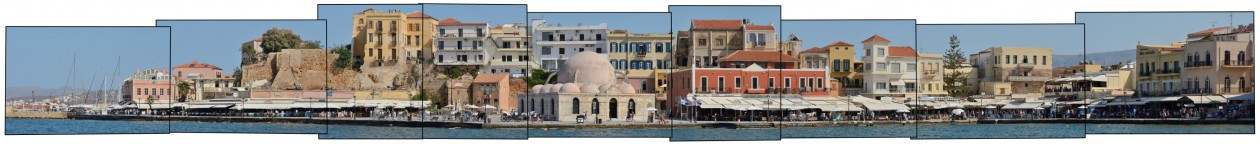
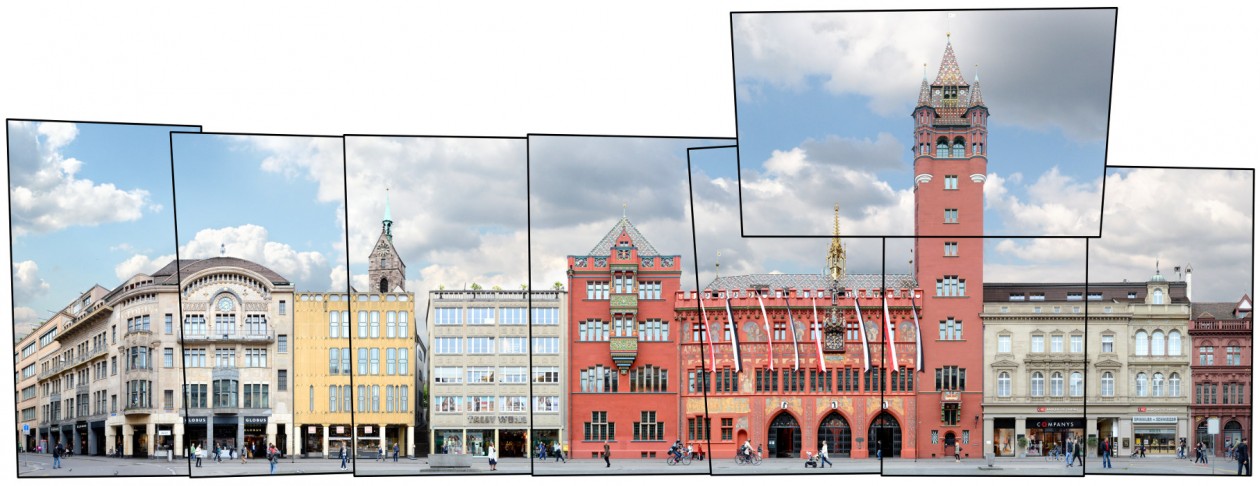
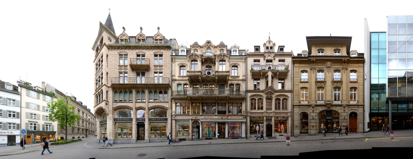
Click for larger view:

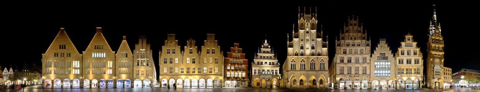
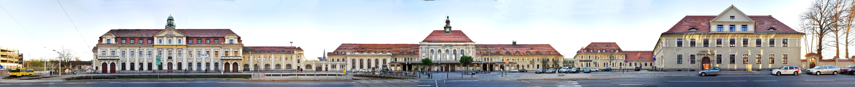
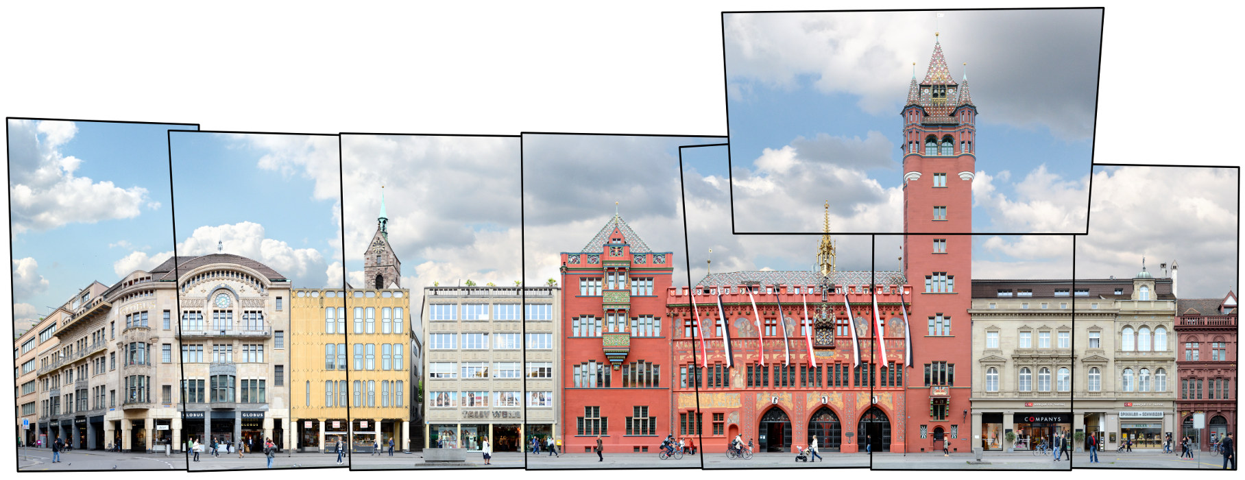
For classic view (german link):
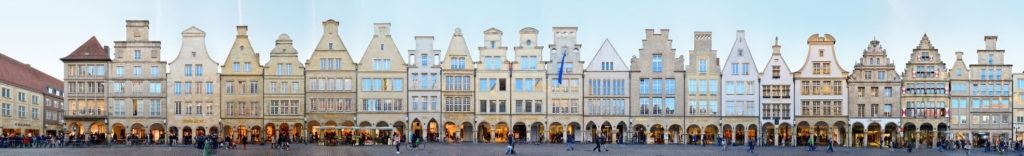
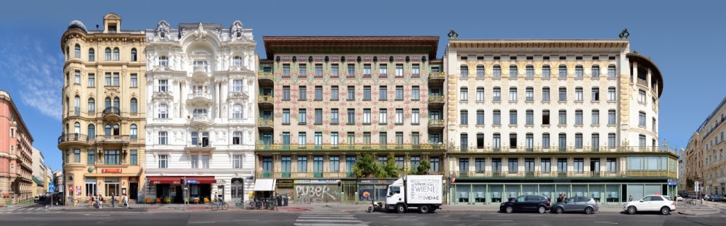
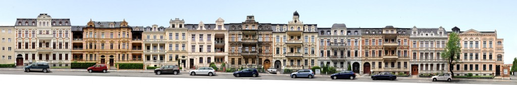
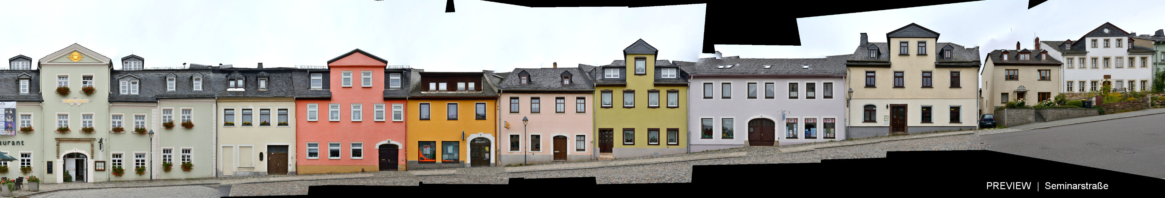
Seminarstrasse Preview:
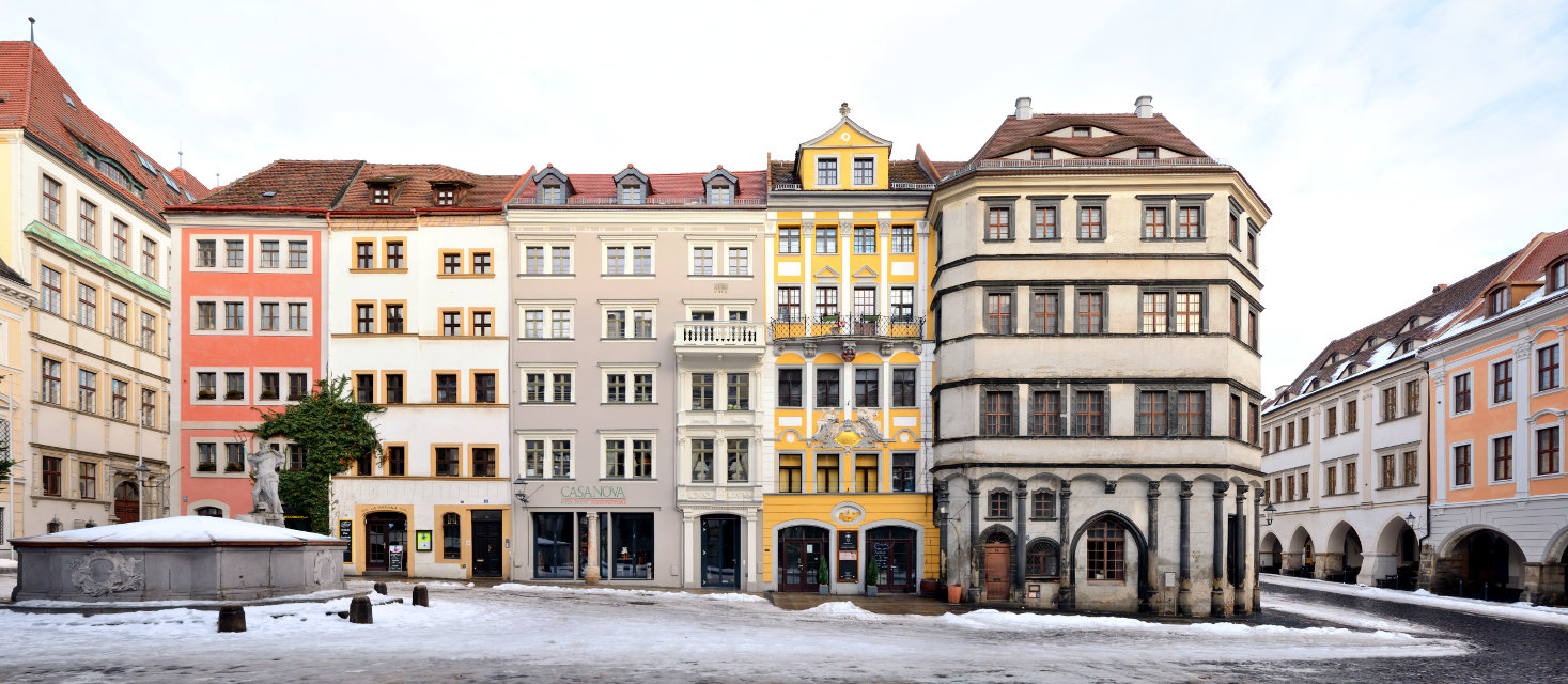
Find more Streetlines from the Erzgebirge (Ore Mountains) Area in our Archive.